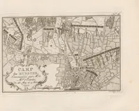
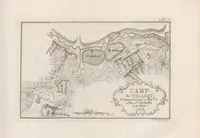
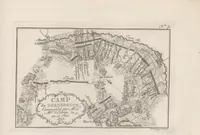
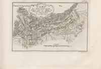
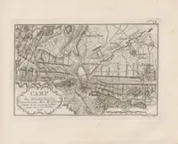
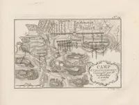
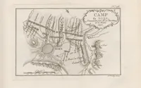
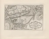
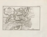
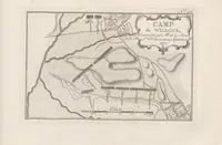
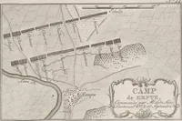
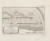
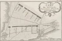
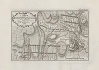
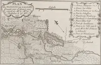
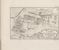
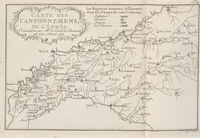
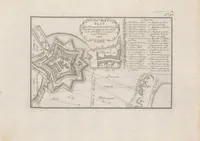
Camps topographiques de la campagne de MDCCLVII, en Westphalie : commencée par Mr. le Maréchal d'Estrées, continuée par Mr. le Duc de Richelieu, & finie par Mgr. le Comte de Clermont: avec le Journal de ses operations, & quelques autres morcaux fort curieux
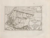
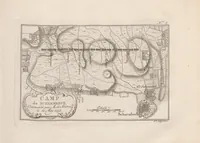
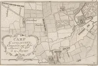
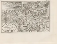
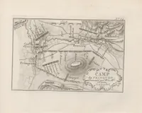
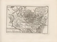
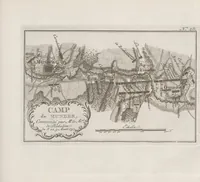
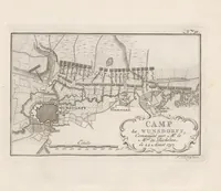
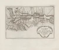
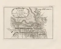
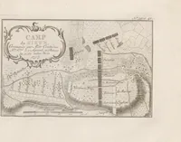
A set of engraved topographic maps issued in 1760 by Paul Alexis Du Bois and published by the widow van Duren, recording the 1757 Westphalian campaign under Marshals d'Estrées and Richelieu and the Comte de Clermont, with a journal of operations. The plates show military encampments as plans, with camp lines, tents, rivers, towns and roads drawn in fine line over decorative cartouches. A designer could draw on their crisp hatching, dense rectilinear grids of tents, and ornate rococo title frames for historical or cartographic motifs.