Landtaflen
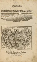
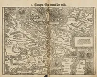
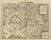
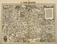
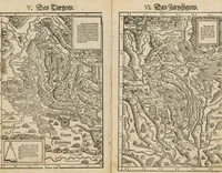
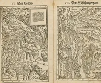
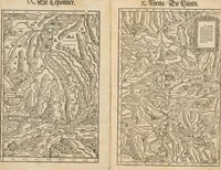
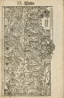
Landtaflen is a 1574 printed atlas of regional woodcut maps by Johannes Stumpf, published by Christoffel Froschower in Zürich for German-speaking readers interested in the geography of Europe. The pictures are dense black-line woodcut maps with hand-lettered place names, rivers, mountain ranges drawn as hatched shapes, and numbered sections, and a designer might take from them the cartouche frames, decorative heraldic shields, and the fine engraved texture of river and terrain lines.