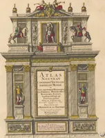
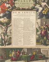
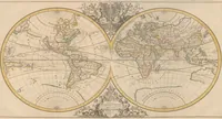
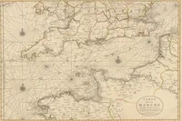
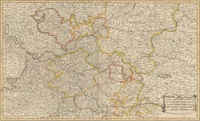
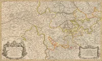
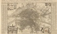
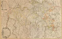
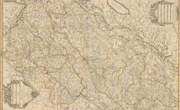
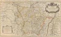
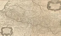
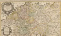
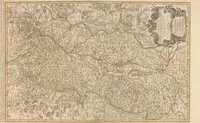
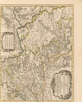
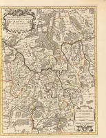
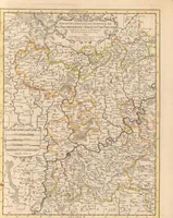
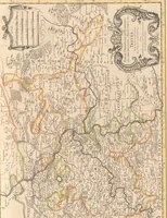
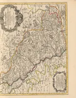
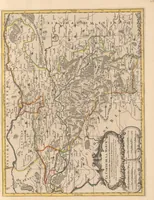
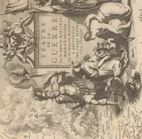
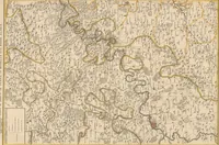
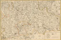
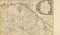
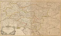
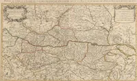
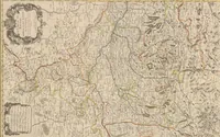
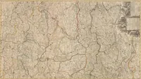
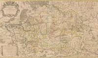
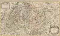
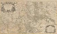
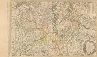
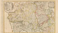
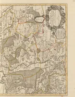
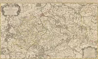
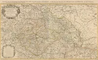
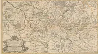
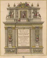
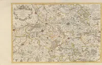
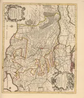
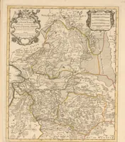
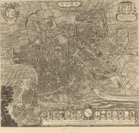
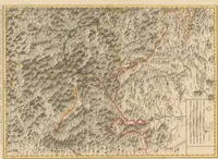
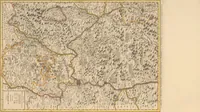
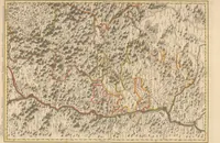
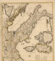
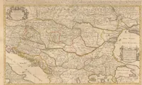
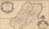
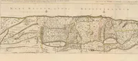
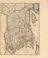
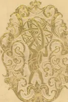
Atlas nouveau, contenant toutes les parties du monde, où sont exactement remarqués les empires, monarchies, royaumes, estats, republiques & peuples qui sy trouuent á present
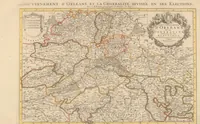
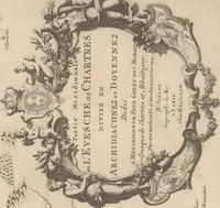
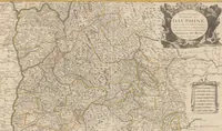
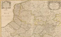
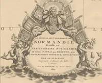
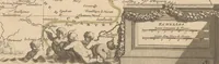
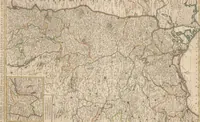
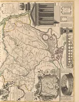
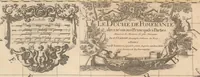
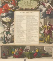
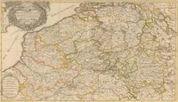
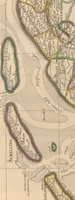
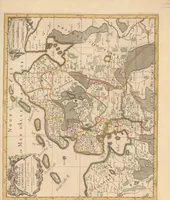
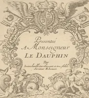
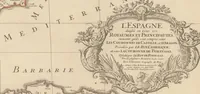
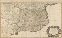
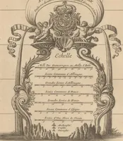
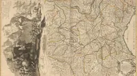
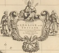
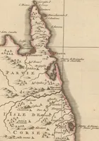
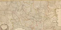
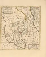
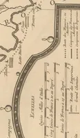
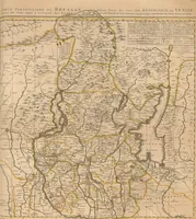
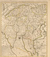
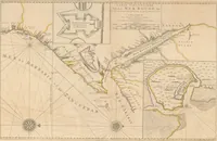
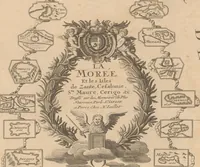
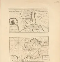
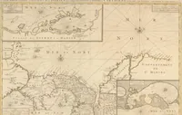
A 1696 French atlas of the world, compiled by Nicolas Sanson, Alexis Hubert Jaillot and Pieter Mortier and published by Hubert Jaillot, showing empires, kingdoms and peoples in engraved regional maps. The pictures are hand-coloured copperplate maps with ornate cartouches, dense hatched terrain, and tinted rivers and borders, offering a designer decorative cartographic frames, lettering and map textures.