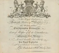
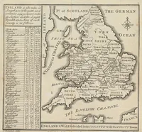
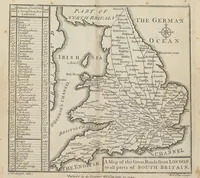
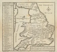
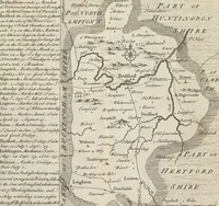
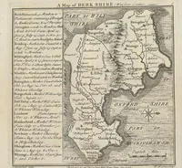
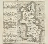
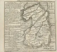
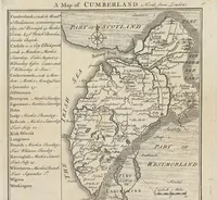
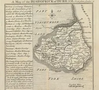
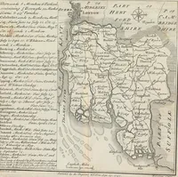
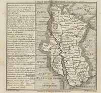
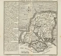
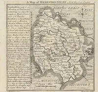
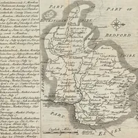
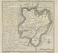
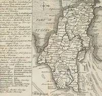
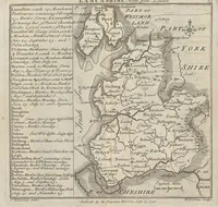
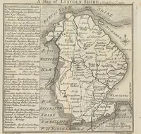
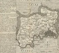
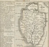
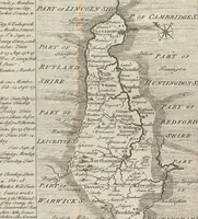
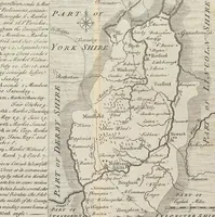
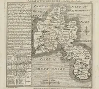
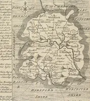
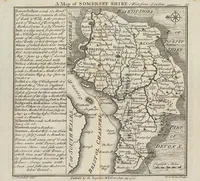
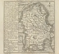
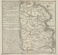
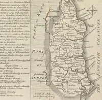
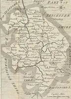
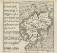
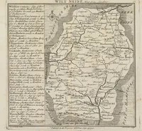
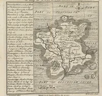
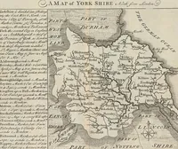
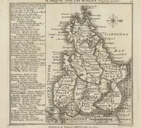
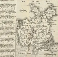
Chorographia Britanniae, or, A new set of maps of all the counties in England and Wales : to which are prefix'd the following general maps, viz. I. An Accurate Chart of the Sea Coast, exhibiting all the Royal Docks, Fortifications, Harbours, Sands &c,. II. A Map of England and Wales, as divided into Counties, with the Names of the Cities and County Towns; and the Length, Breadth, and Superficial Content of the Whole, and each County seperately. III. A Map of the great Roads from London, to all parts of South Britain; with tables showing the distance of each City and Town upon the Road, from the Metropolis, both in Computed and Measured Miles. IV. A Map of all the Cross Roads, from one great Town to another, with the distances from Town to Town, both by Computation and Measure
Chorographia Britanniae is an 1742 atlas of county maps of England and Wales, compiled by Thomas Badeslade and William Henry Toms and sold by J. Clark for a general readership of travellers and landowners. Its pictures are engraved county maps with dense place names, hachured hills, compass roses, and decorative cartouches, offering designers a model for antique cartographic ornament, border framing, and typographic lists of towns.