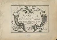
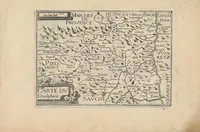
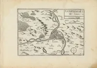
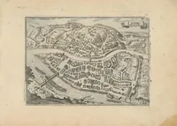
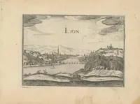
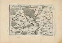
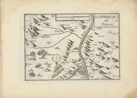
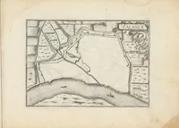
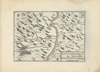
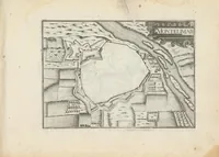
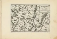
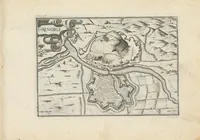
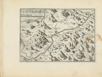
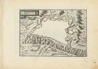
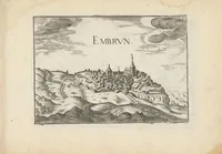
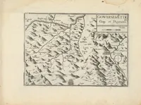
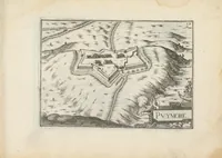
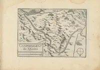
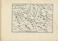
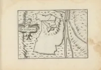
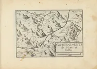
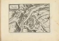
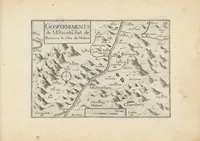
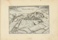
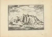
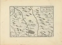
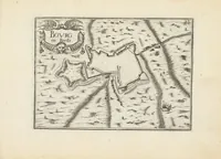
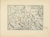
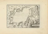
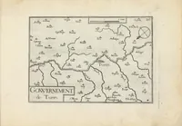
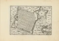
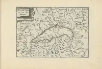
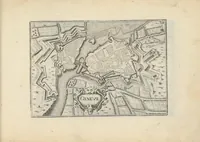
Plans et profilz des principales villes de la province de Dauphiné, avec la carte genale & les particuliéres de chascũ gouvernement d'icelles
Christophe Tassin's 1637 atlas, published by Tavernier, maps the province of Dauphiné in France for a readership of officials and travellers, with plans of its principal towns and a general map. The pictures are engraved maps of government districts such as Valence, Lyon, Vienne and Pignerol, drawn with hatched mountains, winding rivers and small lettered town symbols. A designer could draw on their fine hatching for terrain textures, compass roses and cartouche-style title lettering.