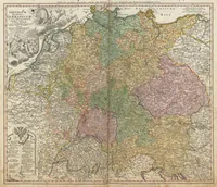
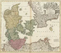
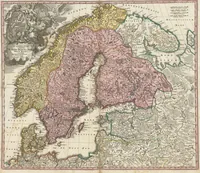
Kleiner Atlas Scholasticus von achtzehen Charten
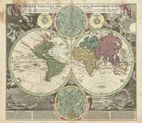
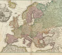
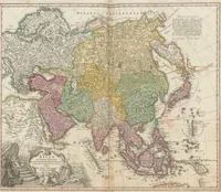
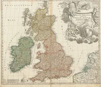
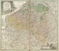
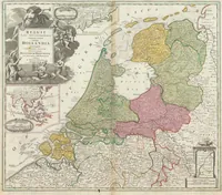
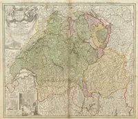
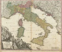
An 1711 school atlas of eighteen maps, published in Nuremberg by Johann Baptist Homann with text by Johann Hübner, made for students learning geography. The four pictured sheets are hand-coloured copperplate maps of the Holy Roman Empire, Europe, and Switzerland, with decorative cartouches, sea monsters, and allegorical figures in the corners. A designer could take the tinted regional palette, the ornamental title cartouches, and the engraved lettering as models for period map styling.