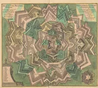
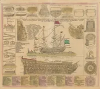
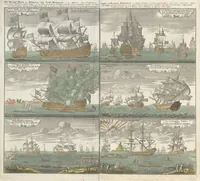
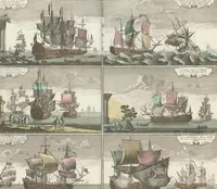
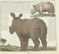
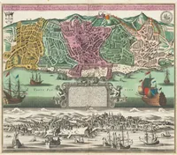
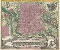
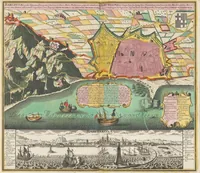
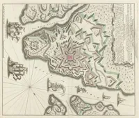
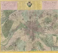
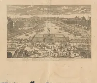
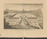
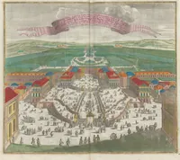
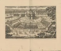
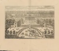
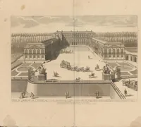
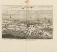
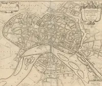
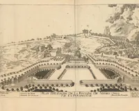
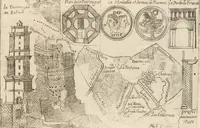
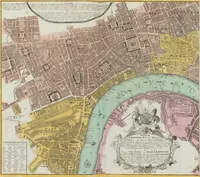
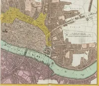
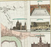
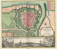
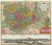
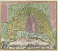
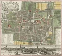
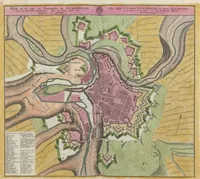
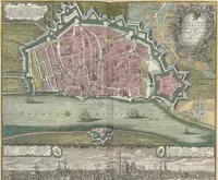
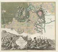
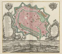
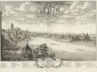
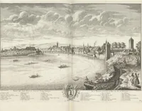
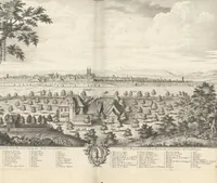
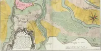
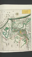
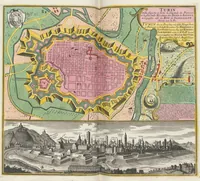
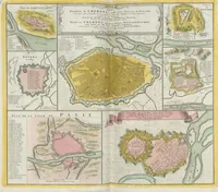
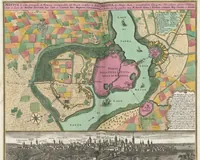
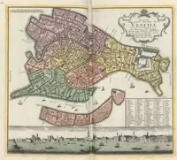
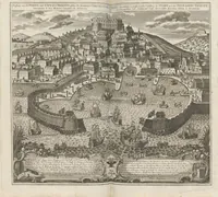
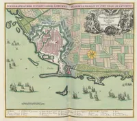
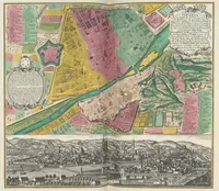
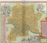
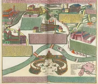
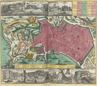
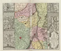
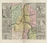
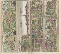
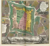
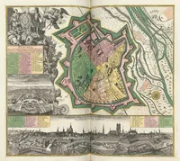
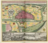
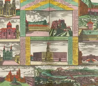
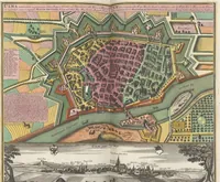
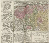
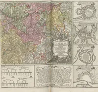
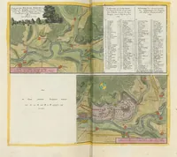
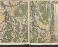
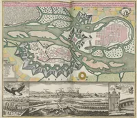
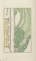
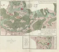
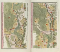
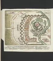
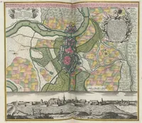
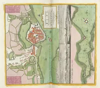
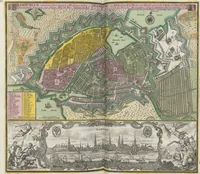
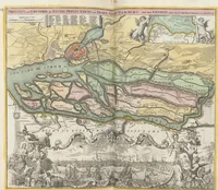
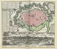
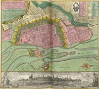
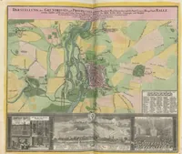
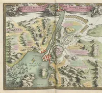
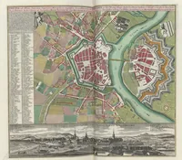
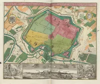
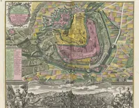
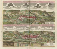
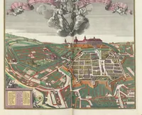
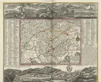
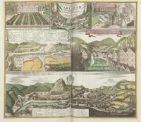
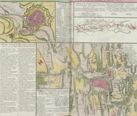
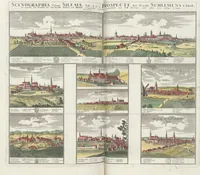
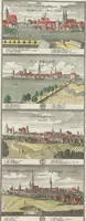
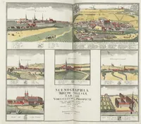
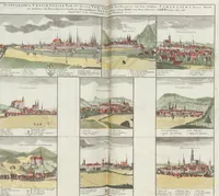
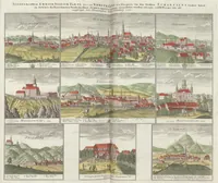
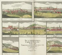
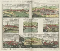
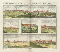
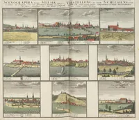
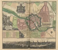
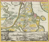
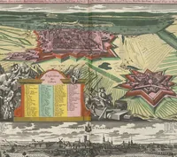
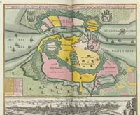
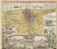
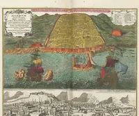
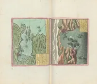
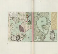
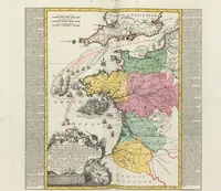
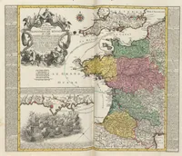
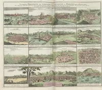
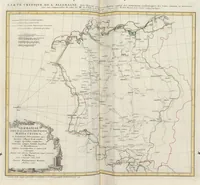
[Atlas] : [Atlas factice mit Karten, Plänen und Veduten europäischer, vornehmlich deutscher Städte]
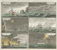
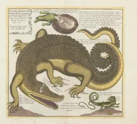
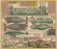
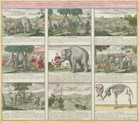
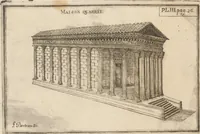
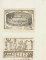
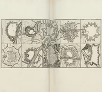
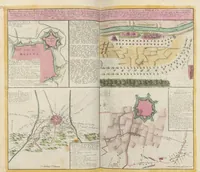
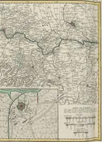
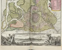
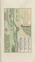
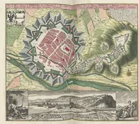
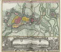
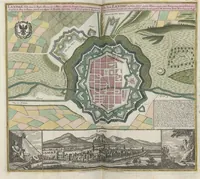
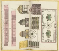
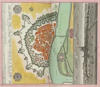
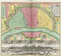
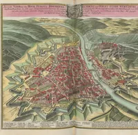
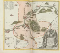
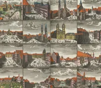
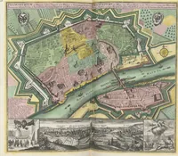
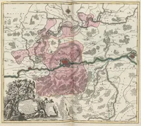
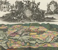
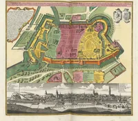
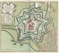
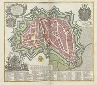
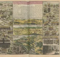
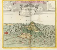
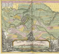
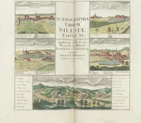
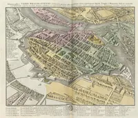
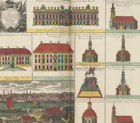
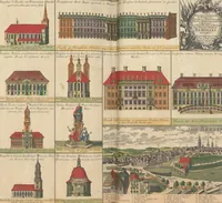
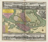
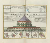
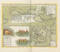
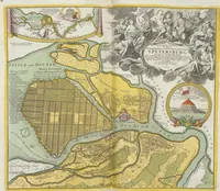
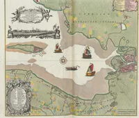
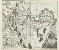
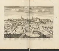
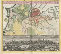
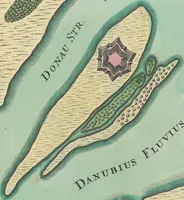
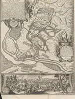
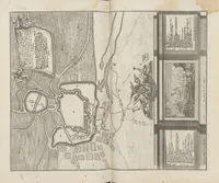
A German atlas of 1759 by Seutter, Homann and the Homann heirs, assembled from city plans, fortification maps and views of European and mainly German towns for a general readership of collectors and scholars. The four plates show colour-tinted bird's-eye plans of walled cities such as Regensburg, Munich and Magdeburg, with fortress outlines, river channels and small engraved vedute strips along the bottom edges, offering a designer clear models for layered city maps, compass roses and cartouche framing.