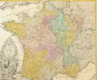
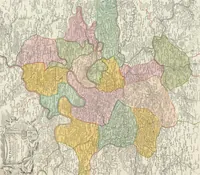
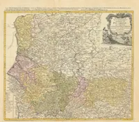
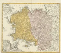
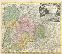
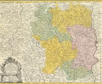
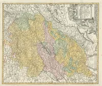
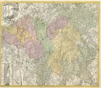
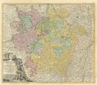
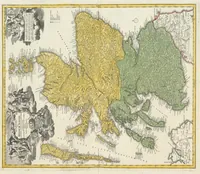
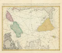
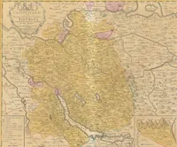
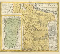
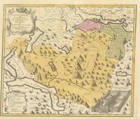
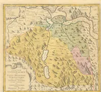
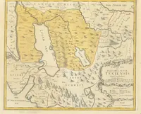
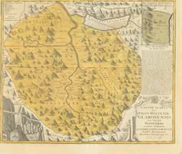
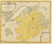
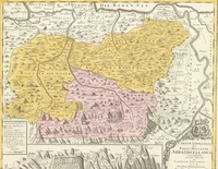
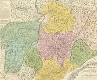
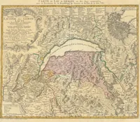
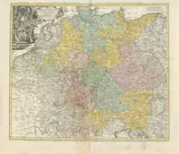
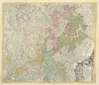
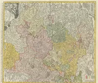
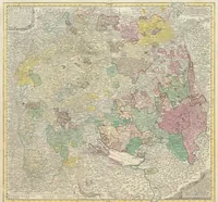
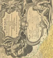
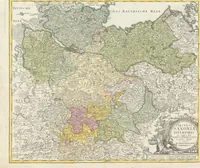
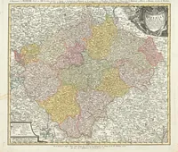
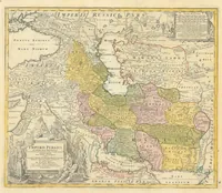
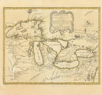
Atlas : [Atlas factice mit Karten der Erde und einzelner Staaten]
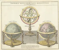
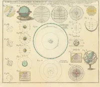
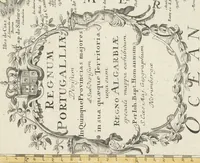
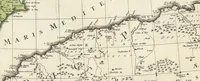
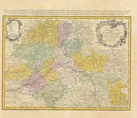
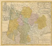
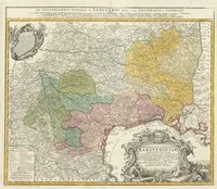
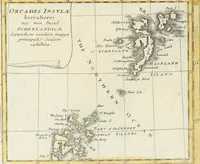
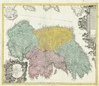
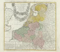
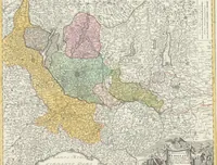
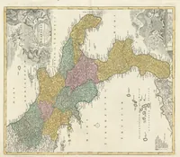
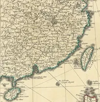
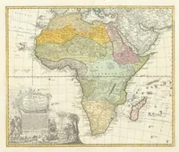
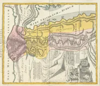
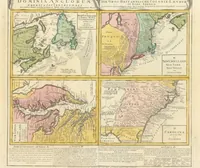
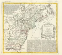
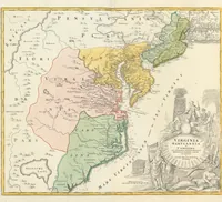
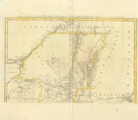
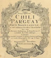
A hand-coloured 18th-century atlas of maps of the earth and individual states, compiled by Hase, Lowitz, L'Isle and Rizzi-Zannoni in 1778 and held by the ZB Zürich library. The four pictures are regional French maps with colour-washed provinces, decorative cartouches, title panels and coastal outlines, showing how boundaries were tinted in pastel blocks against fine engraved place names and rivers, a useful reference for designers seeking antique cartographic palettes and ornamental frames.