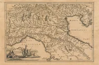
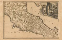
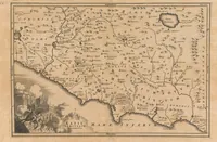
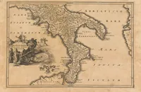
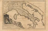
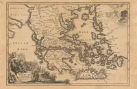
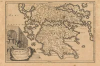
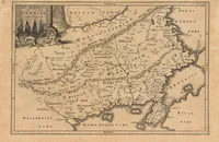
[Notitia orbis antiqui, sive geographia plenior ...]
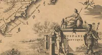
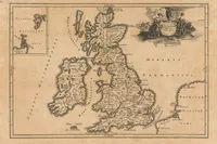
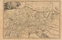
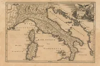
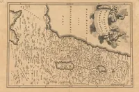
A Latin historical atlas of the ancient world compiled by Christoph Cellarius and engraved by J. M. Beck, published in Leipzig in 1706 for scholars and students of classical geography. The pictures are hand-coloured-look copperplate maps in sepia with dense place names, coastlines, rivers and mountain ranges, each framed by a decorative cartouche with allegorical figures or a legend box; a designer could draw on their cartographic lettering, rhumb-line borders and vignette compositions.