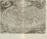
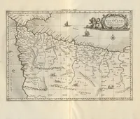
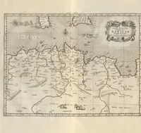
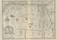
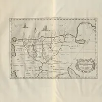
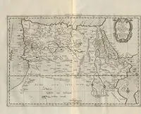
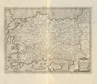
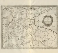
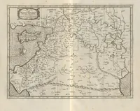
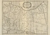
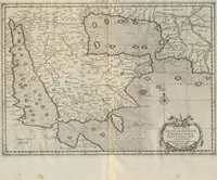
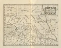
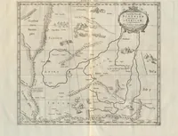
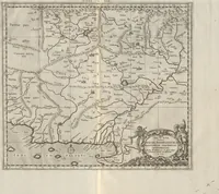
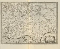
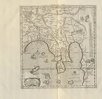
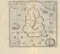
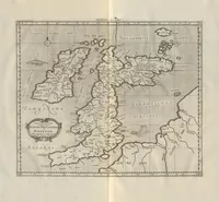
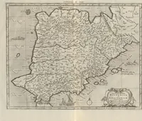
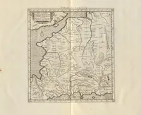
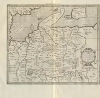
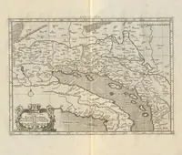
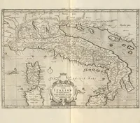
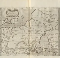
Orbis Antiqui Tabulae Geographicae Secundum CL. Ptolemaeum : cum Indice Philologico absolutissimo Omnium Locorum, Montium, Fluminum, &c. in Tabulis occurentium, Situm, Nomina Recentiora, & alia eò pertinentia, lineis per ipsas ductis, accuratissime indicante ; In Usum Geographiae Veteris Studiosorum
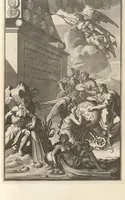
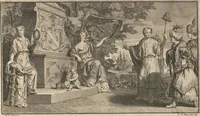
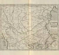
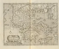
An atlas of ancient geography after Claudius Ptolemy, compiled from Gerhard Mercator's maps and published in 1730 by Wetstenius and Smith, intended for students of classical geography. Its copperplate maps show Sarmatia, Germania, Gaul and the Asian and Mediterranean regions with dense ranks of hand-lettered place names, river lines and mountain hatching, pale grey tint and ornate cartouches, which a designer might use for antique map borders, typographic labels and classical cartographic textures.