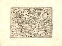
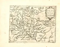
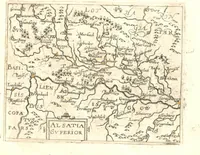
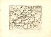
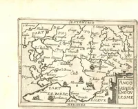
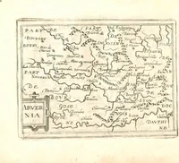
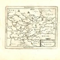
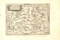
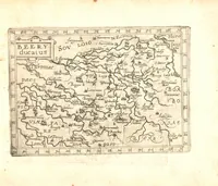
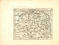
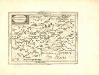
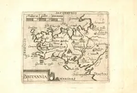
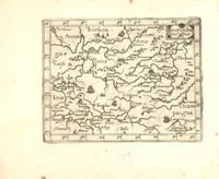
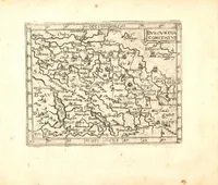
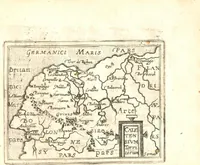
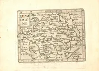
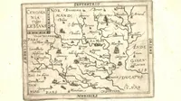
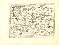
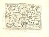
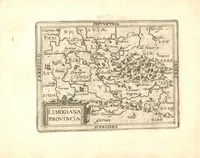
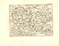
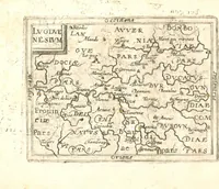
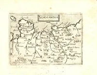
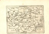
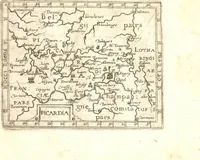
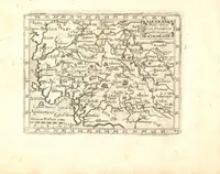
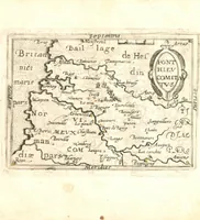
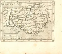
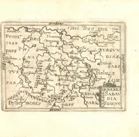
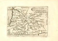
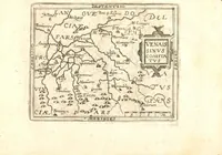
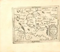
Deliciae Galliae, sive, Itinerarium per universam Galliam : complectens itinera ab Lutetia Parisiorum, ad omnes Galliae civitates et oppida ... : iter agentium commodo additae sunt Galliae tabellae geographicae omnes ...
Deliciae Galliae is a 1603 pocket atlas of France compiled by Matthias Quad and printed by Sigismundus Latomus, with small engraved regional maps for travellers on the roads between Paris and the provincial towns. The pictures are small, dense copperplate maps with hand-lettered place names, decorative cartouches, and scale bars, offering a designer compact historical cartographic framing and border ornament.