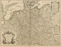
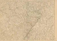
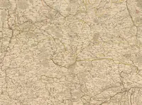
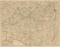
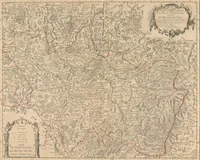
[Atlas] : [Atlas factice mit Karten der Erde und einzelner Staaten]
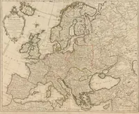
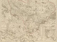
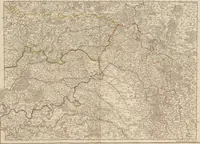
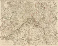
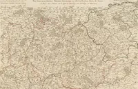
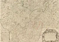
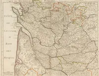
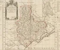
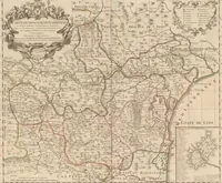
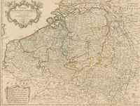
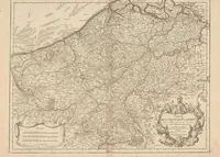
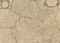
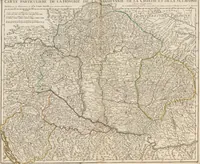
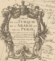
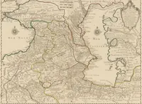
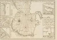
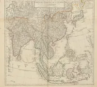
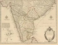
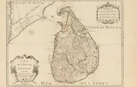
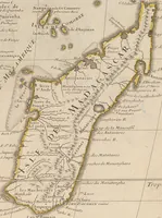
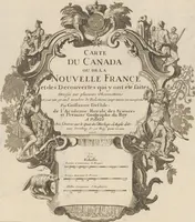
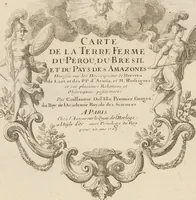
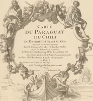
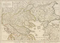
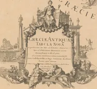
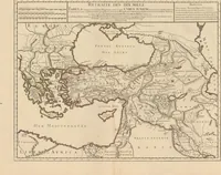
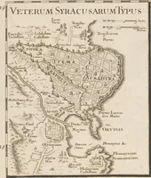
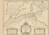
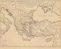
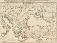
This is a 1700 atlas of maps issued under the name of Guillaume Delisle, a French cartographer, with a Zürich library copy, comprising maps of the earth and of individual states for a scholarly and mercantile readership. The four pictures are engraved copperplate maps: a dense regional map of central Europe with a decorative cartouche, a map of the Spanish Netherlands with a title panel, a map of Languedoc and the Mediterranean coast with a city plan, and a map of the Caspian region with compass roses and sea monsters. A designer could draw on their ornate cartouches, compass roses and hand-coloured border tints for period map styling.