Range Image Processing for Local Navigation of an Autonomous Land Vehicle
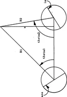
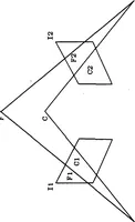
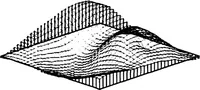
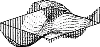
A 1986 technical report from the Naval Postgraduate School in Monterey, California, written by Dennis D. Poulos for military and research readers, on range image processing so an autonomous land vehicle can navigate locally. The plates are diagrams and computer plots: a triangulation geometry drawing with labelled points and angles, and wireframe surface plots of range data. A designer might take from them the clean line-drawn grid and mesh styles of early computer graphics.