Atlas of the world and gazetteer
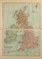
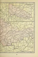
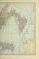
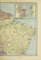
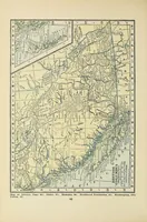
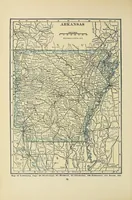
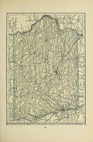
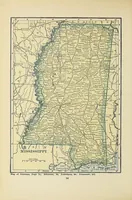
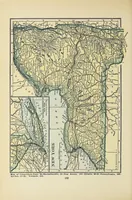
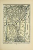
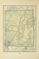
An atlas published in New York in 1923 by the Funk & Wagnalls Company, a general reference work for home and library use, with its pages numbered and captioned with neighbouring states. The pictures are plain black-and-white and cream-toned state maps printed with dense grey road and river networks, county boundaries, and small place names, with inset panels on some pages. A designer might take the fine linework of roads and rivers, and the clean hand-drawn cartographic labelling, as texture or background for maps and travel graphics.