Carte géologique du Katanga et notes descriptives
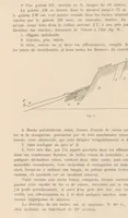
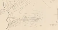
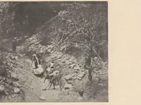
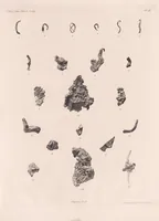
This 1908 Brussels geological report by German geologist Franz Eduard Studt describes mineral deposits in Katanga, Congo, for mining and scientific readers. Its pictures include a hand-drawn geological survey map with contour lines and mine workings, pages of dense French text with a cross-section diagram, a plate of irregular copper and mineral specimens, and a sepia photograph of workers clearing a rocky mountain path, offering a designer hatched topographic linework, specimen-plate arrangements, and archival field-documentation texture.