Civitates orbis terrarum
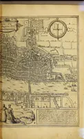
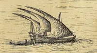
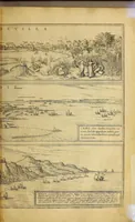
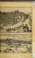
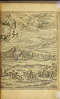
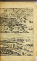
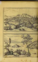
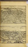
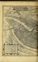
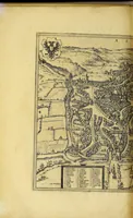
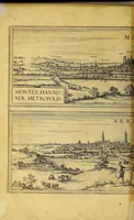
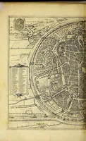
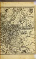
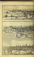
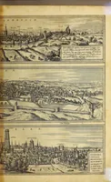
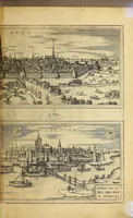
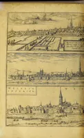
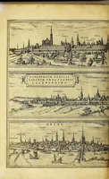
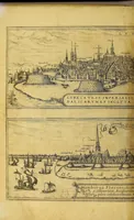
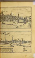
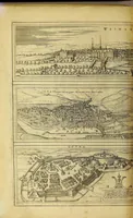
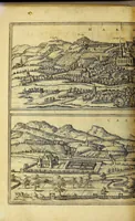
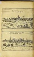
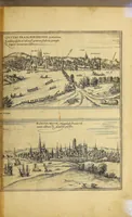
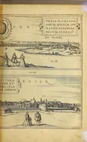
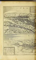
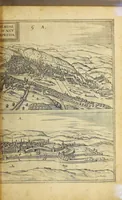
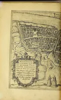
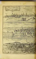
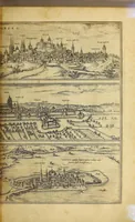
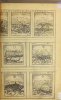
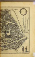
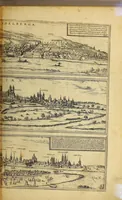
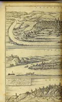
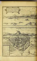
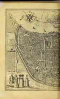
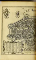
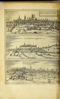
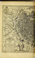
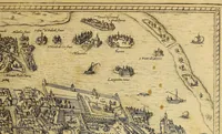
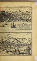
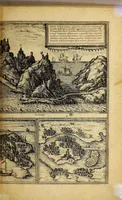
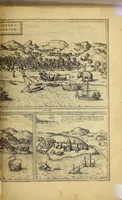
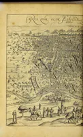
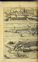
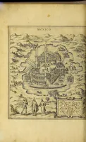
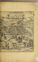
Civitates orbis terrarum is a late sixteenth-century atlas of city views compiled by Georg Braun and printed in Antwerp in 1575 by Aegidius Radeus for a scholarly readership of merchants and humanists. Its pages hold bird's-eye engravings of towns from a high oblique viewpoint, with walls, churches, harbours and ships labelled in Latin captions, offering designers a dense model for early map-like cityscape layouts and framed plate compositions.