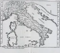
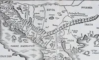
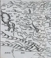
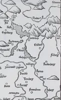
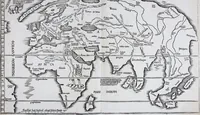
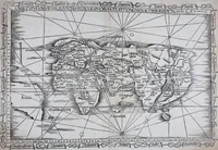
Claudii Ptolemaei Geographicae enarrationis libri octo
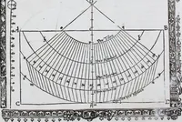
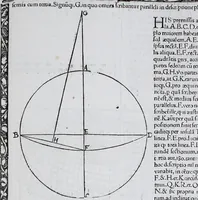
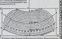
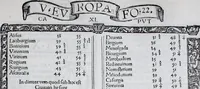
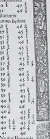
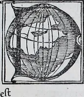
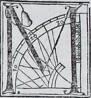
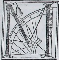
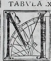
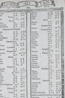
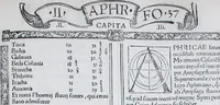
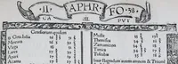
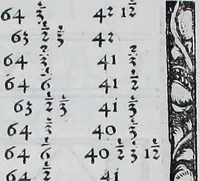
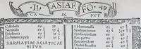
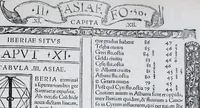
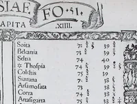
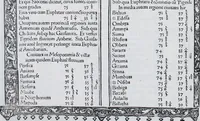
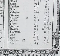
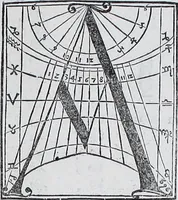
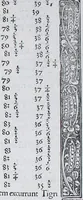
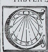
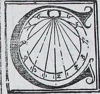
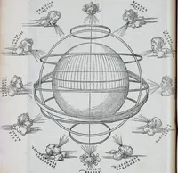
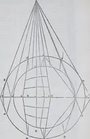
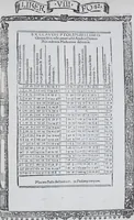
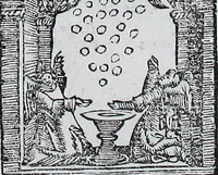
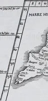
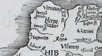
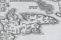
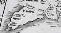
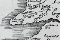
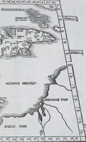
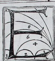
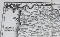
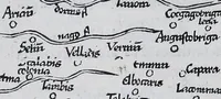
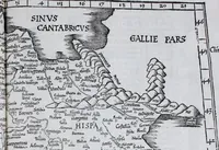
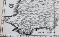
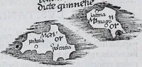
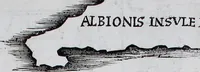
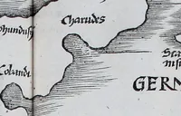
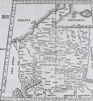
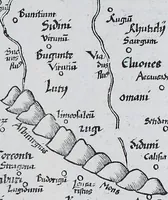
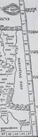
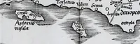
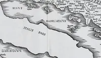
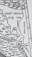
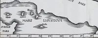
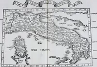
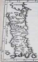
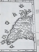
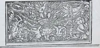
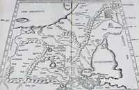
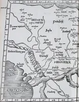
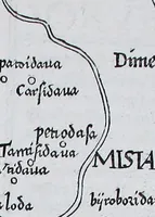
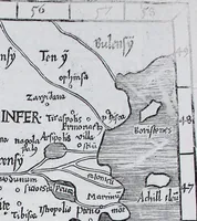
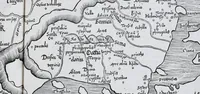
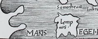
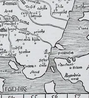
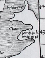
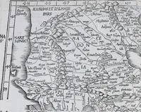
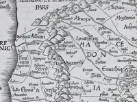
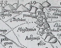
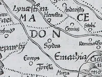
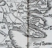
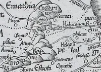
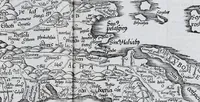
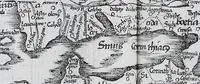
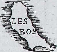
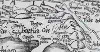
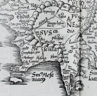
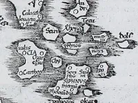
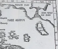
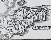
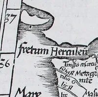
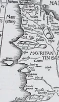
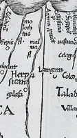
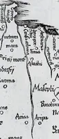
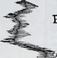
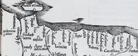
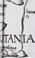
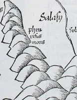
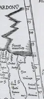
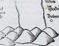
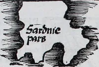
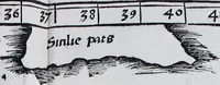
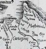
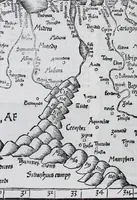
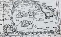
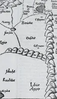
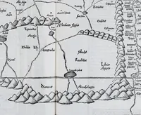
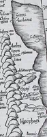
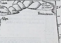
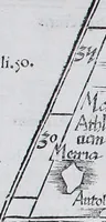
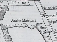
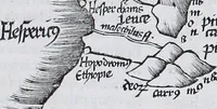
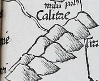
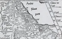
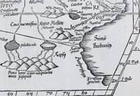
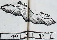
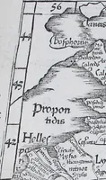
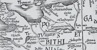
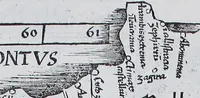
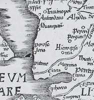
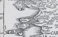
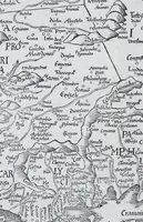
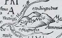
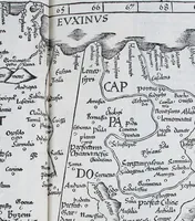
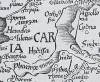
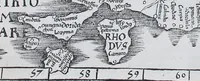
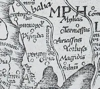
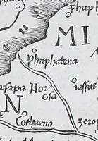
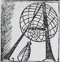
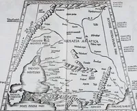
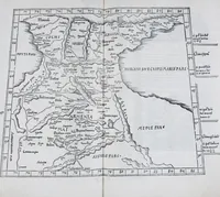
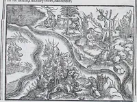
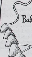
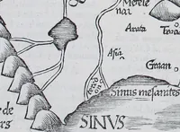
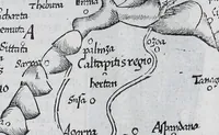
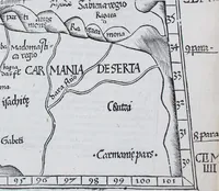
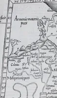
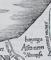
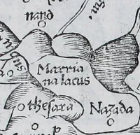
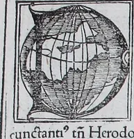
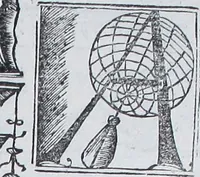
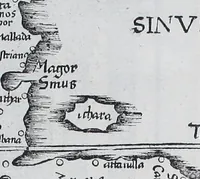
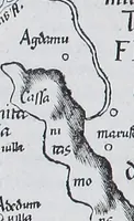
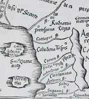
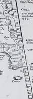
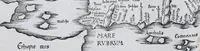
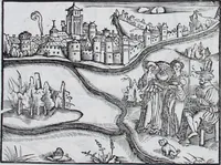
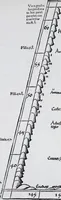
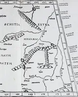
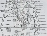
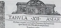
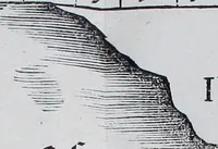
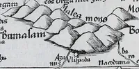
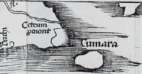
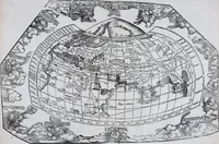
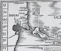
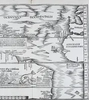
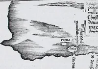
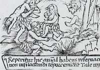
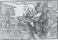
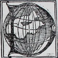
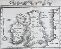
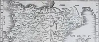
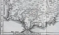
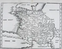
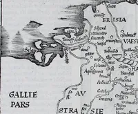
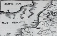
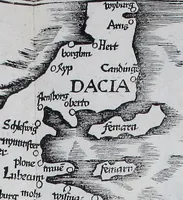
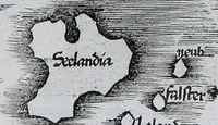
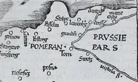
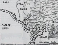
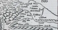
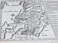
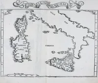
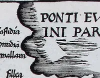
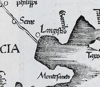
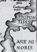
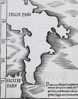
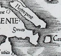
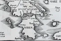
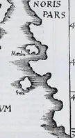
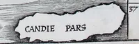
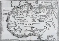
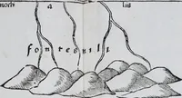
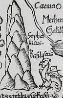
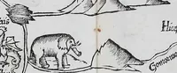
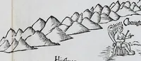
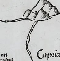
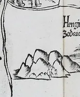
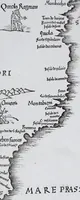
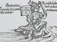
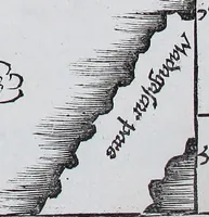
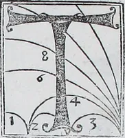
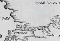
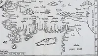
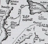
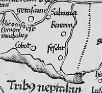
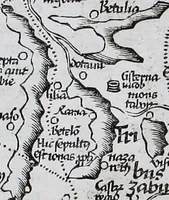
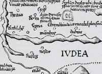
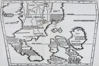
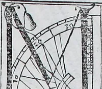
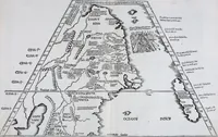
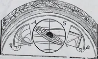
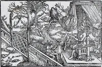
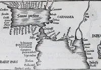
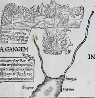
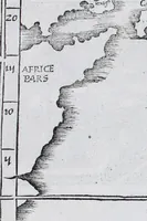
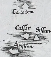
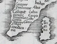
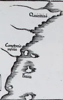
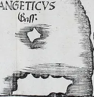
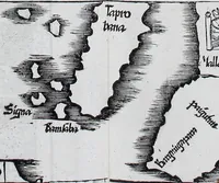
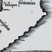
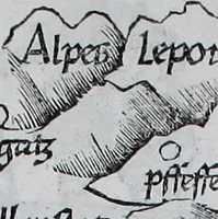
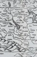
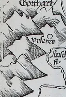
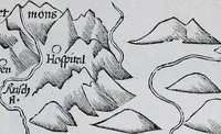
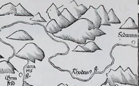
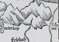
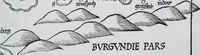
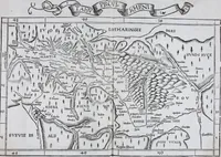
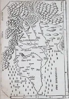
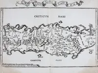
Claudii Ptolemaei's Geographicae enarrationis libri octo is a 1525 geography treatise by Ptolemy, edited by Pirckheimer and Regiomontanus and printed at Strasbourg by Johannes Grieninger for Johannes Koberger, aimed at scholars and cartographers. Its pictures are woodcut map fragments with coastlines hatched in parallel strokes, dotted boundary lines, and handwritten Latin place names, giving a designer models for early cartographic linework, lettering and ornamental printed borders.