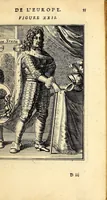
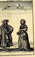
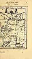
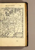
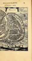
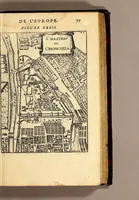
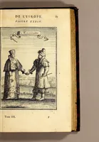
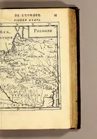
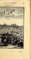
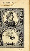
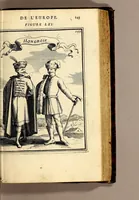
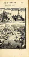
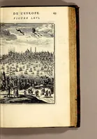
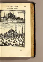
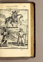
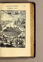
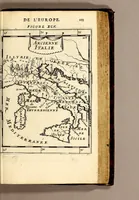
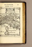
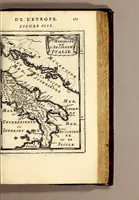
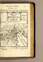
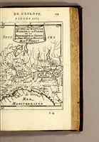
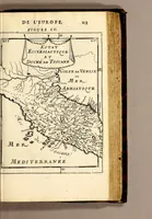
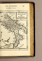
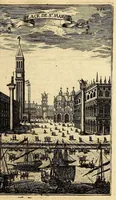
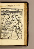
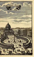
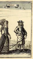
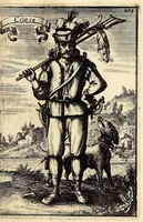
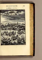
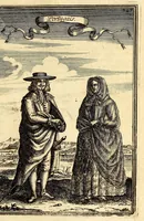
Description de l'univers, : contenant les differents systêmes du monde, les cartes generales & particulieres de la geographie ancienne & moderne : les plans & les profils des principales villes & des autres lieux plus considerables de la terre ; avec les portraits des souverains qui y commandent, leurs blasons, titres & livrées : et les mœurs, religions, gouvernemens & divers habillemens de chaque nation. Dediee au roy.
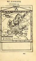
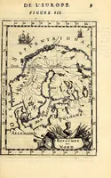
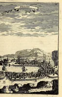
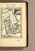
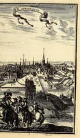
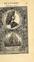
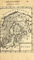
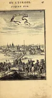
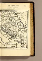
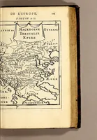
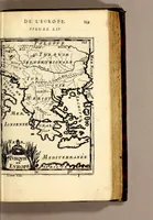
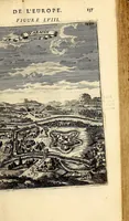
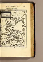
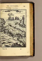
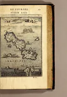
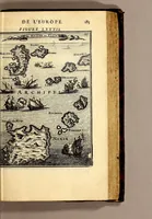
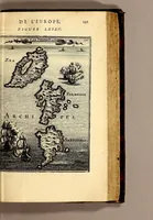
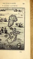
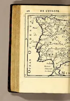
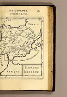
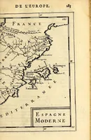
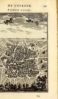
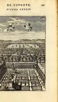
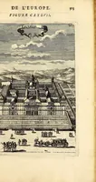
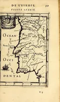
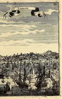
A 1683 Paris atlas-volume by Allain Manesson-Mallet, published by Denys Thierry, covering cosmography and geography for the French king, with engraved maps of ancient and modern regions. The pictures are small framed copperplate maps set within the page of a tall book, showing coastlines, islands, and place names in fine line engraving, offering a designer ideas for historical cartographic framing and hand-lettered labels.