Description de l'univers : contenant les differents systemes du monde, les cartes generales & particulieres de la geographie ancienne & moderne, les plans & les profils des principales villes & des autres lieux plus considerables de la Terre : avec les portraits des souverains qui y commandent, leurs blasons, titres & livrées : et les moeurs, religions, gouvernemens & divers habillemens de chaque nation
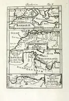
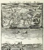
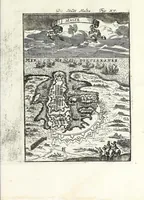
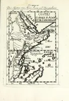
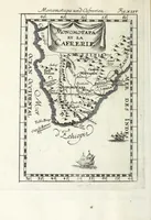
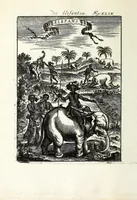
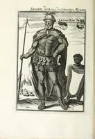
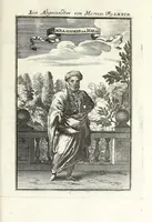
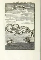
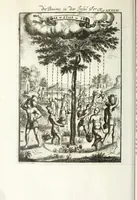
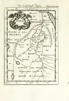
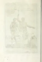
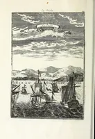
Manesson-Mallet's 1685 French geography of the world, published in Frankfurt by Jean David Zunner, is a large cosmography covering systems of the universe, general and regional maps, city plans and profiles, and the portraits, arms and costumes of rulers and nations. The pictures are plain black-and-white copperplate engravings: town views with ships and coastlines, a fortified city plan, and a map of northeast Africa with decorative cartouches. A designer could draw on their clean line hatching, ornate map cartouches and early modern harbour scenes.