England's improvement by sea and land ..
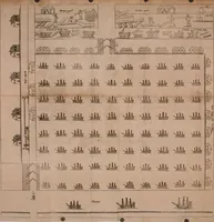
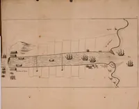
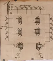
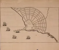
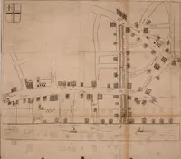
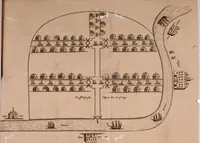
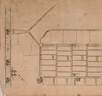
Yarranton's 1698 London economic tract, printed by T. Parkhurst, presents its argument through folding plates of the Thames and English trade. The pictures are fine-lined pen-and-ink maps and diagrams: ranked rows of small houses, a river drawn as a long curving band with ships, and a grid of tiny vessels and warehouses. A designer might take from them the way dense, repeated units and a labelled plan can organise a whole page.