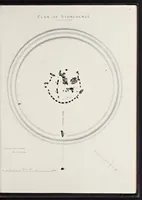
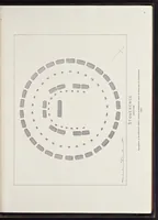
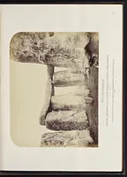
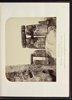
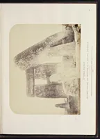
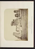
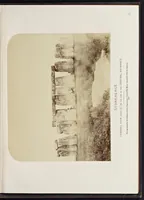
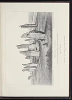
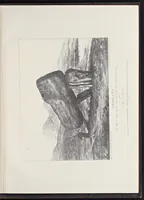
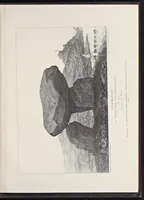
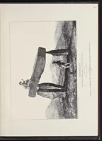
Plans and photographs of Stonehenge and of Turusachan in the Island of Lewis, with notes relating to the Druids and sketches of cromlechs in Ireland
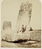
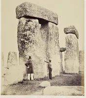
An 1867 photographic survey published by the Ordnance Survey Office in Southampton, compiled by Colonel Henry James, documenting Stonehenge and other stone monuments for surveyors and antiquarians. The plates are albumen-style photographs of standing stones and trilithons, printed on album pages with captions naming each view. A designer could take from them the weathered stone textures, the heavy lintel-and-upright geometry, and the stark, low-contrast tonal range of nineteenth-century monument photography.