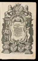
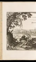
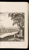
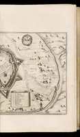
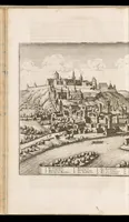
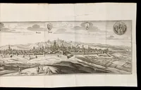
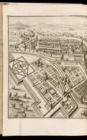
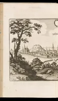
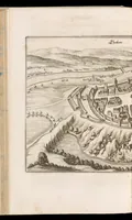
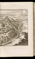
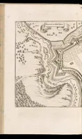
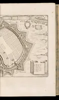
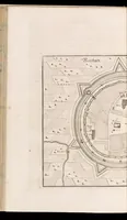
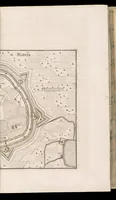
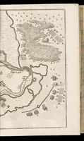
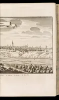
Topographia Bohemiæ, Moraviæ et Silesiæ : das ist, Beschreibung vnd eigentliche Abbildung der vornehmensten vnd bekandtisten Stätte vund Plätze in den Königreich Boheim vnd einverleibten Landern, Mähren, vnd Schlesien
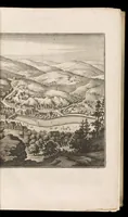
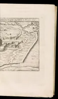
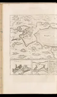
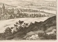
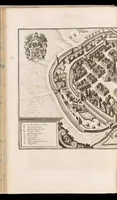
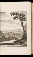
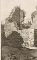
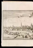
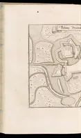
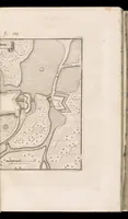
A 1650 topographical book published in Frankfurt by Matthäus Merian, with text by Martin Zeiller, describing the principal towns and fortified places of Bohemia, Moravia and Silesia for a German-reading audience. The pictures are engraved bird's-eye town views and plans, showing walls, bastions, rivers and surrounding hills in fine dense line work that a designer could draw on for historical map or cityscape references.