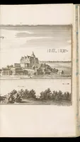
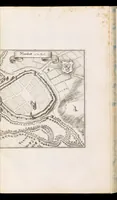
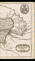
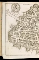
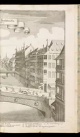
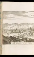
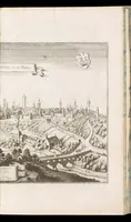
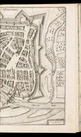
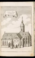
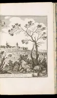
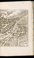
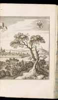
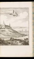
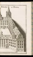
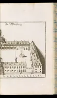
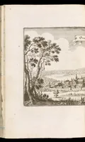
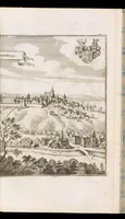
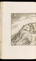
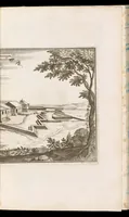
Topographia Franconiæ : das ist, Beschreibung vnd eÿgentliche Contrafactur der vornehmbsten Stätte, vnd Plätze des Frankenlandes vnd deren, die zu dem hochlöbischen Fränkischen Craisse gezogen werden
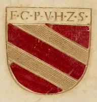
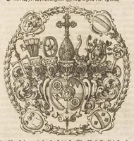
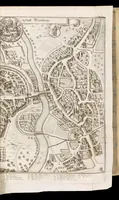
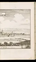
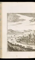
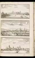
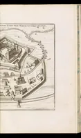
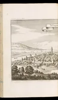
Topographia Franconiae is a 1648 topographical description of Franconia by Martin Zeiller, published in Frankfurt by Matthäus Merian for readers interested in the region's towns and places. Its pictures are copperplate city views and panoramas, each showing a town from a distant hill or riverbank with coats of arms, cartouches and labelled sites, useful to a designer studying early map-like perspective views and heraldic framing.