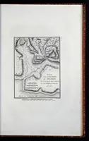
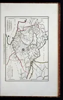
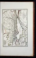
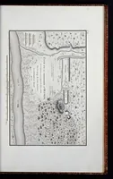
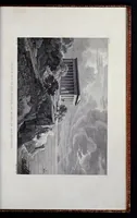
Recueil de cartes géographiques, plans, vues et medailles de l'ancienne Grèce relatifs au voyage du jeune Anacharsis : précédé d'une analyse critique des cartes
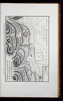
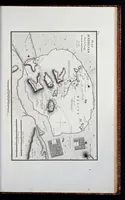
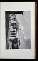
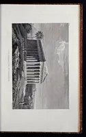
This is an 1799 Paris atlas of maps, plans and views of ancient Greece, compiled by Jean Denis Barbié du Bocage to accompany the travels of the young Anacharsis. The four plates are engraved copperplate maps with hachured relief, coastlines, fortified town plans and military sites, and a designer can take from them the crisp, schematic cartographic linework and the hand-lettered French place-name captions.