Description de l'univers : contenant les differents systemes du monde, les cartes generales & particulieres de la geographie ancienne & moderne, les plans & les profils des principales villes & des autres lieux plus considerables de la Terre : avec les portraits des souverains qui y commandent, leurs blasons, titres & livrées : et les moeurs, religions, gouvernemens & divers habillemens de chaque nation
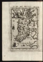
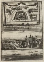
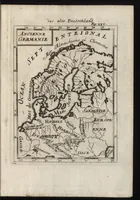
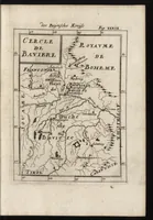
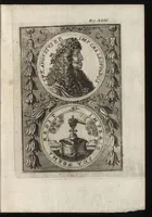
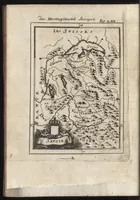
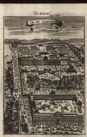
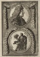
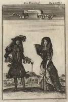
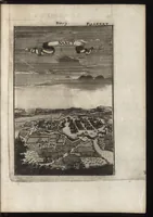
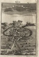
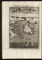
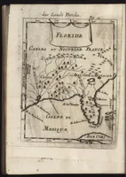
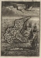
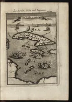
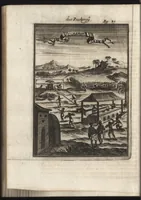
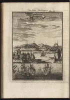
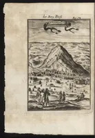
A 1685 French cosmography and geography atlas by Allain Manesson-Mallet, published in Frankfurt am Main by Jean David Zunner, covering world systems, general and regional maps, city plans and the customs and dress of nations. The pictures are small copper-engraved maps with decorative cartouches, plus a view of a conical hill above a town with figures in the foreground; a designer could draw on their compact framed layouts, lettered title banners and sea-monster borders.