L' Art De Lever Les Plans: Comprenant La Description Des Instruments Graphiques, Les Divers Emplois De Ces Instruments Sur Le Terrain, L'Arpentage, La Géodésie, Le Nivellement, La Stéréométrie, La Topographie Et Le Lavis Des Plans; Ouvrage composé de 30 Tableaux in-4°, renfermant 190 Dessins, gradués Avec Un Texte Explicatif
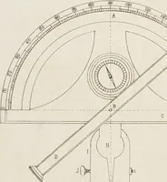
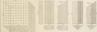
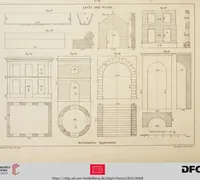
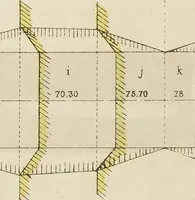
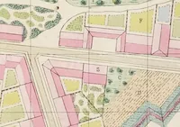
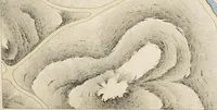
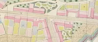
A French surveying and drafting manual by J. B. Henry, published in 1850 and held by Heidelberg University Library, written as a textbook for surveyors and draughtsmen learning to make plans. The plates show cartographic work: colour-coded city block plans with lettered lots, hatched contour-style elevation diagrams, and grid-based three-dimensional projections drawn in fine line.