Historia mundi: or Mercator's atlas : containing his cosmographicall description of the fabricke and figure of the world ; lately rectified in divers places, as also beautified and enlarged with new mappes and tables
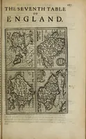
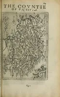
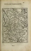
Historia mundi, or Mercator's atlas, is a 1635 London atlas by Gerhard Mercator, Jodocus Hondius and others, printed by Thomas Cotes for Michael Sparke and Samuel Cartwright, presenting the world through county and regional maps. The pictures are small engraved maps with fine hatched coastlines, rivers and lettered place names, set in plain borders, plus an ornate strapwork cartouche. A designer might draw on their dense linework, compact map grids and decorative heraldic framing.