Hydrography of the American Isthmus
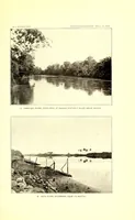
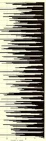
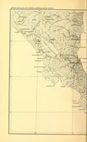
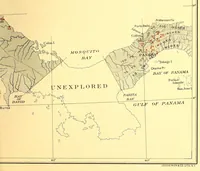
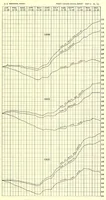
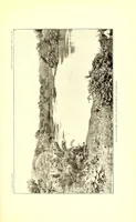
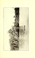
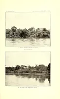
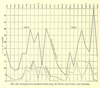
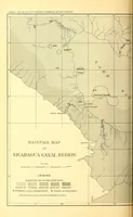
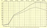
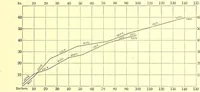
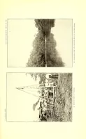
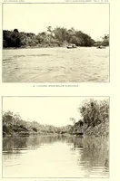
A 1903 government survey published in Washington by Arthur Powell Davis, a federal engineer, mapping water supply and rainfall across the American isthmus, likely for legislators and engineers planning canal work. The pictures are plain line maps with river networks and survey marks, paired with black-and-white engraved views of tropical rivers and shorelines, useful to a designer for hand-drawn cartography and natural landscape textures.