Itinerarivm prouinciarum omniũ Antonini Augusti : cum fragmento eiusdem, necnon indice haudquaq[uam] aspernãdo
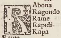
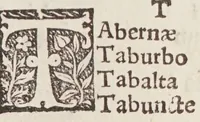
This is a 1512 Paris edition of the Antonine Itinerary, a Roman-era list of provinces, roads and place names printed by Henri Estienne for scholars and map users. The pictures are plain black-and-white woodcut initial letters with floral and foliate interlace, set beside columns of Latin place names in a blocky roman typeface; a designer could take the decorative capitals as models for historical frame ornaments and display lettering.