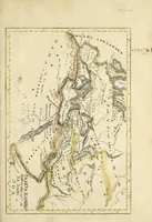
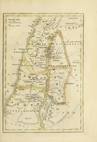
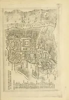
Ka hoikehonua a me na palapala aina no ka olelo a ke akua
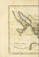
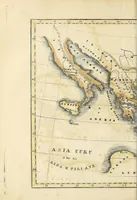
A Hawaiian-language geography of the Bible published in 1842 at Lahainaluna, Maui, by missionary Lorrin Andrews, written for Hawaiian readers learning scripture and place names. The pictures are hand-coloured copperplate-style maps in cream, ochre and grey-blue wash, with dense lettering, coastlines and ruled borders, showing Asia Minor, the Holy Land and the Mediterranean; a designer could borrow their antique cartographic palette and label typography.