Beschreibung der Ebene von Troja
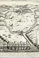
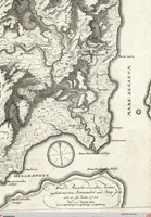
A 1792 German travelogue by Jean-Baptiste Le Chevalier, published for readers of archaeology and topography, describing the plain of Troy through its maps and views. The first picture is a dense engraved survey map with hachured mountains, a coastline and a compass rose, while the second is a bird's-eye engraving of a plain with a walled town, rivers and rows of ships along the shore. A designer could take the hand-drawn topographic hatching and the tiny crowded ship rows as models for antique cartography and historical scene layouts.