Les colonies françaises : géographie, histoire, productions ; administration et commerce
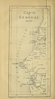
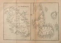
A geography of the French colonies published in Paris in 1868 by Jean Pierre Rambosson for a general readership, with its pictures being engraved maps of Senegal, Martinique and Guadeloupe. The first map shows the Senegal coast with dense coastal place names, rivers and a hatched sea, while the second pairs Martinique and Guadeloupe on facing panels with contour shading and labelled settlements. A designer might take from them the fine line hatching, stippled land relief and small lettering typical of nineteenth-century cartography.