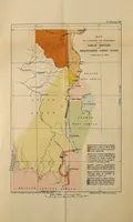
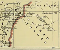
The map of Africa by treaty
A government compilation of African boundary treaties published in London in 1909 by Harrison and Sons for His Majesty's Stationery Office, edited from Edward Hertslet's earlier work for diplomats and colonial officials. The pictures are plain political maps in muted colour, with boundary lines in red and pink, country names in capitals, and river and place labels set in small serif type, useful to a designer wanting restrained cartographic reference.