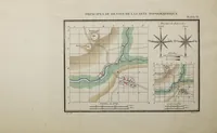
Principes Du Dessin Et Du Lavis De La Carte Topographique: Présentés d'une manière élémentaire et méthodique, avec tous les développemens nécessaires aux personnes qui n'ont pas l'habitude du Dessin. Accompagné De Neuf Modèles, Dont Huit Sont Coloriés Avec Soin
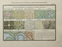
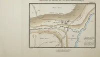
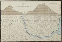
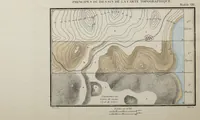
A French instruction manual by Marie, published in 1825, teaching students without drawing training how to draw and wash topographic maps, with nine model plates, eight of them hand-coloured. The plates show contour hillsides with hachures, a winding river with a bridge and village, and painted tints standing for cultivated fields, woods, marsh and sand. A designer could take from them the clear symbolic vocabulary of early cartography, with terrain shown through contours, watercolour tints and conventional signs.