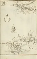
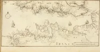
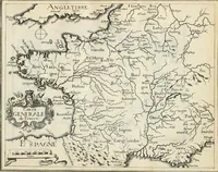
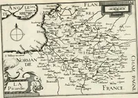
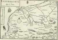
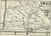
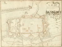
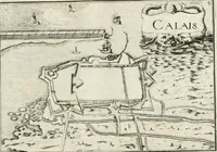
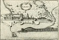
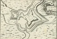
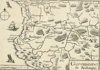
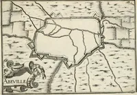
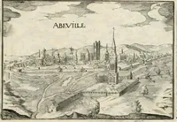
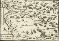
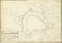
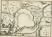
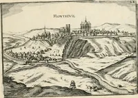
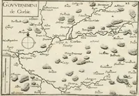
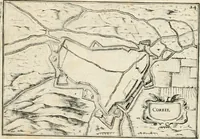
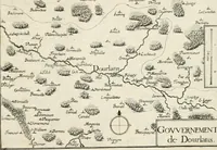
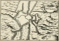
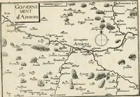
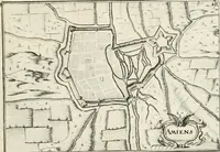
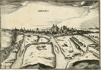
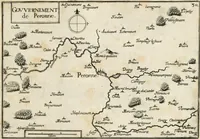
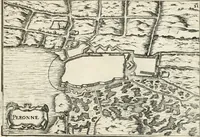
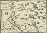
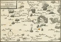
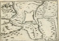
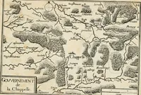
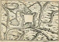
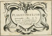
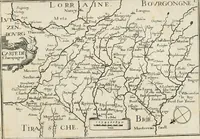
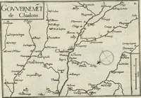
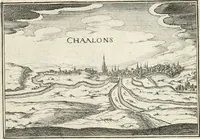
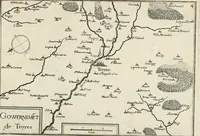
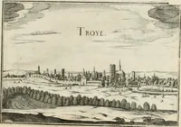
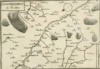
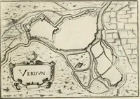
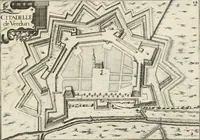
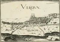
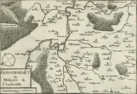
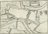
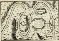
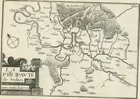
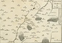
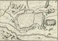
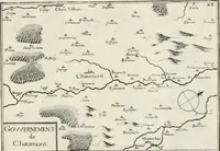
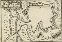
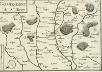
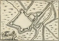
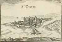
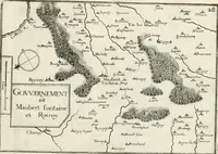
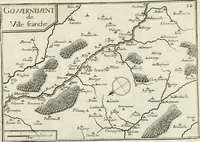
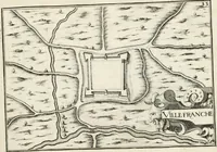
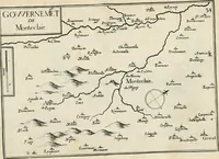
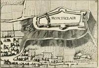
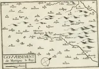
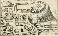
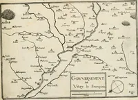
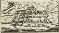
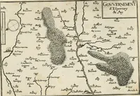
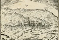
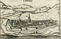
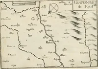
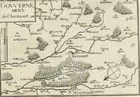
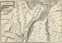
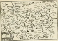
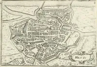
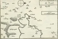
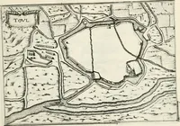
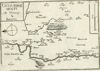
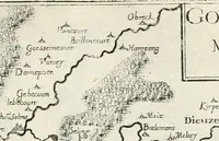
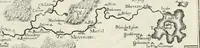
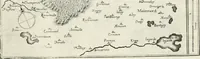
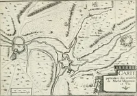
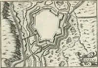
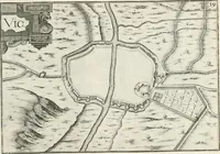
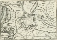
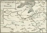
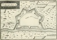
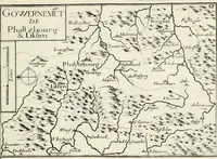
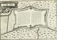
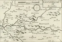
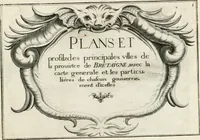
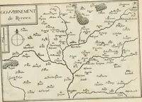
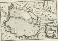
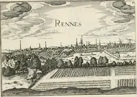
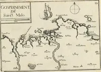
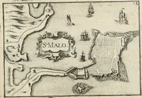
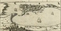
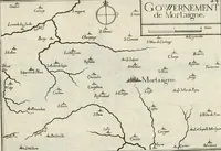
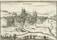
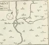
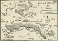
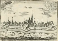
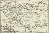
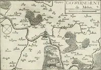
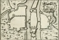
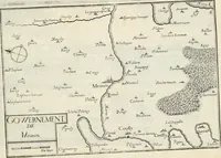
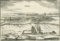
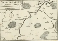
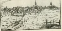
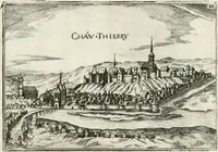
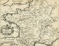
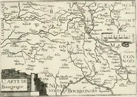
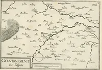
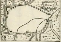
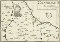
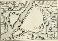
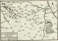
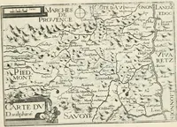
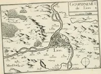
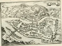
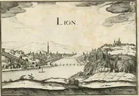
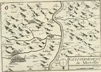
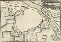
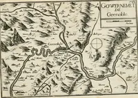
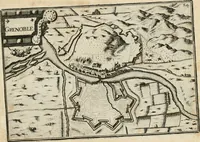
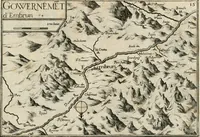
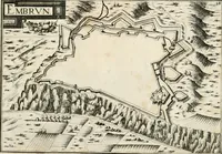
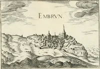
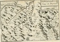
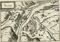
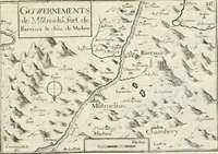
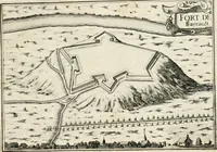
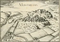
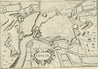
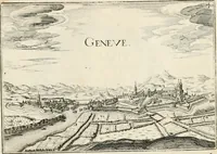
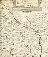
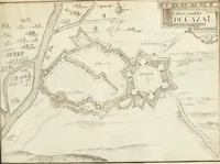
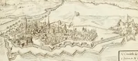
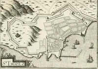
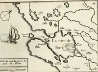
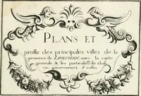
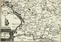
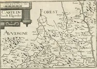
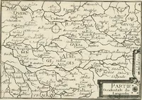
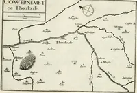
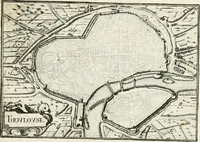
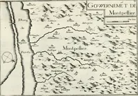
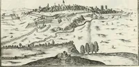
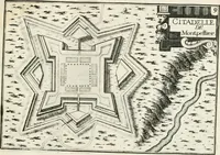
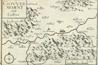
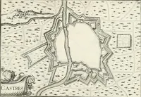
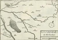
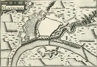
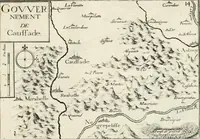
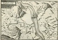
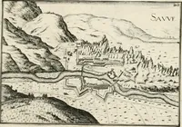
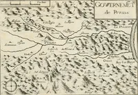
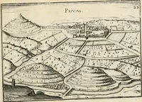
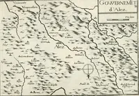
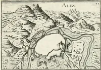
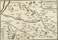
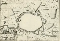
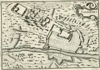
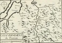
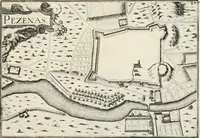
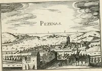
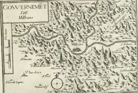
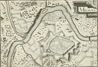
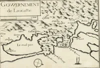
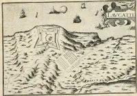
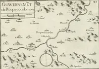
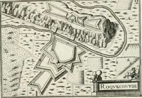
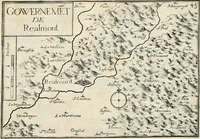
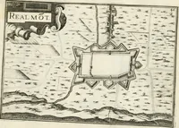
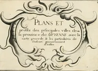
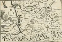
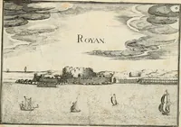
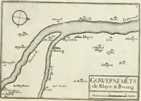
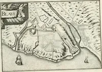
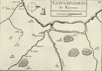
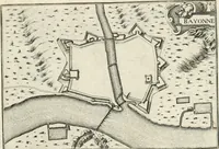
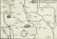
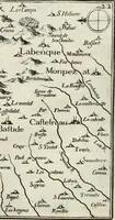
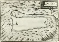
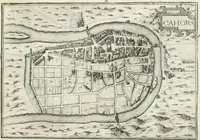
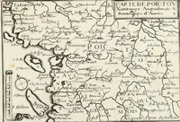
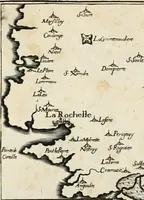
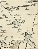
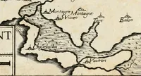
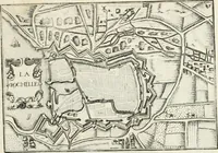
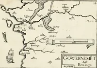
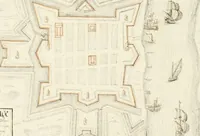
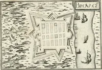
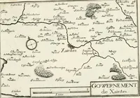
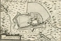
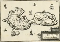
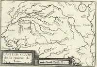
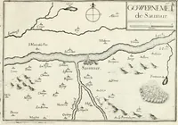
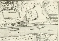
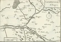
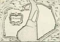
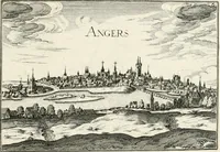
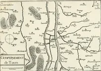
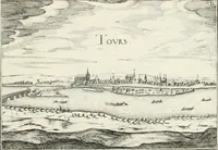
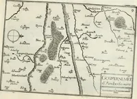
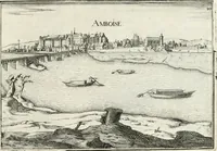
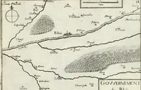
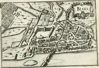
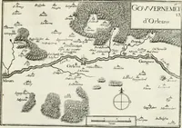
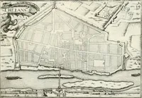
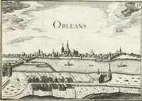
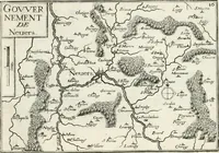
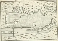
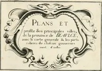
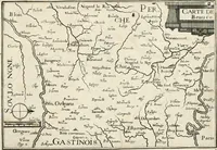
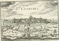
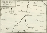
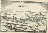
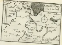
Premiere[-seconde] partie, Les plans et profilz de toutes les principalles villes et lieux considerables de France : ensemble les cartes generalles de chascune prouince & les particulières de chasque gouuernement d'icelles
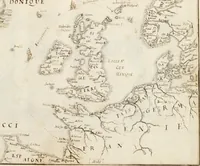
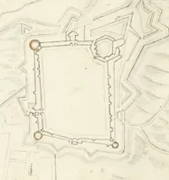
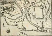
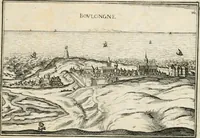
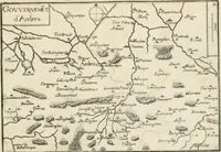
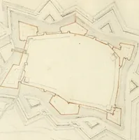
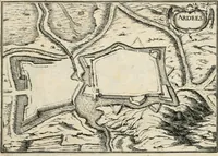
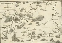
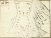
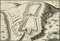
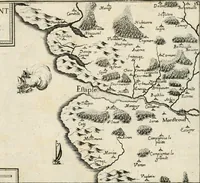
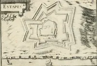
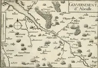
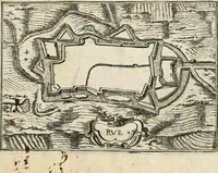
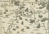
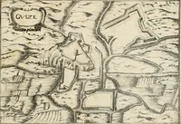
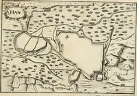
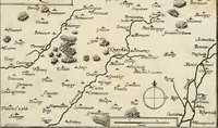
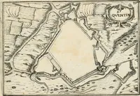
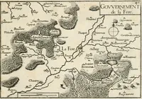
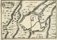
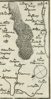
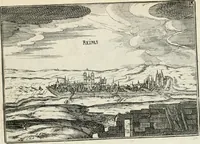
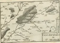
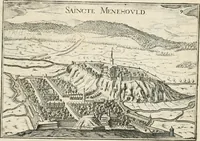
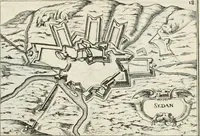
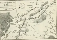
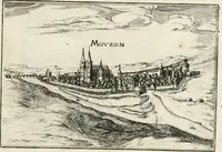
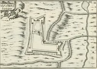
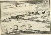
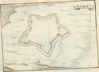
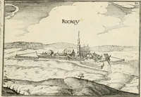
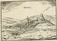
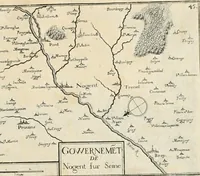
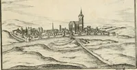
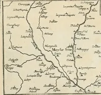
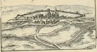
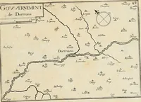
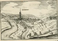
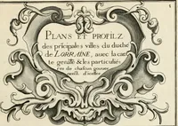
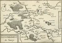
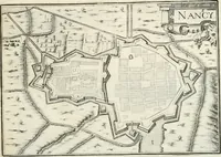
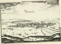
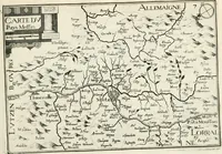
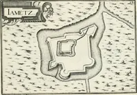
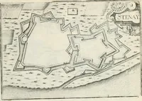
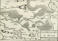
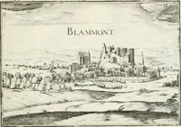
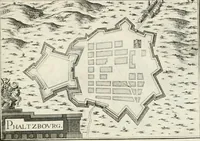
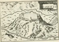
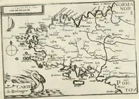
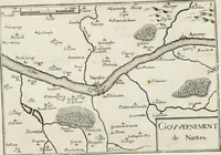
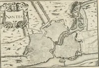
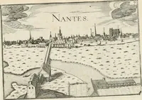
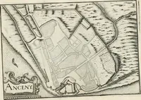
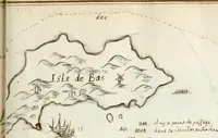
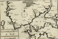
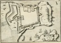
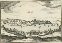
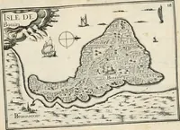
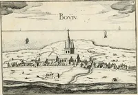
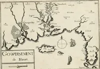
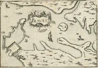
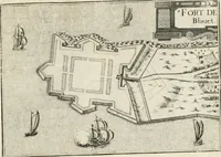
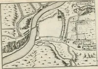
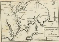
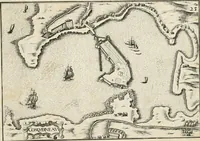
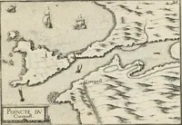
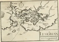
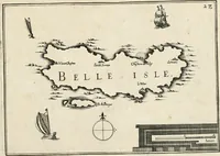
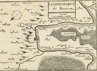
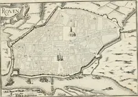
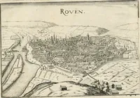
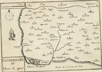
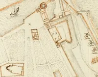
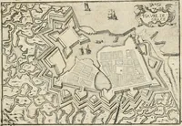
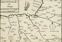
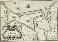
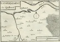
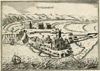
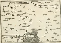
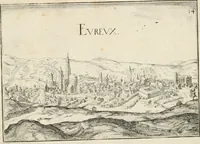
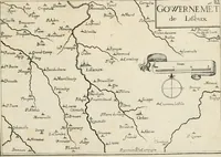
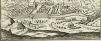
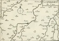
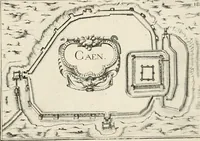
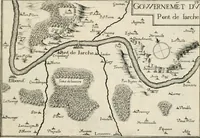
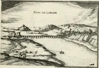
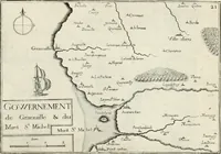
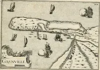
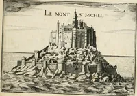
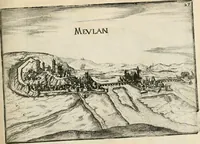
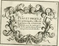
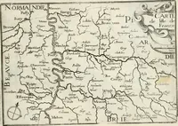
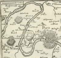
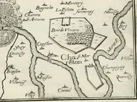
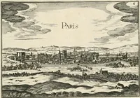
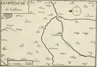
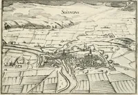
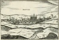
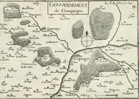
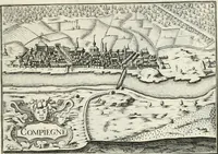
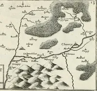
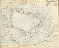
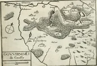
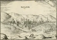
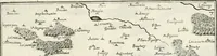
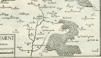
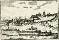
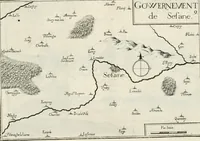
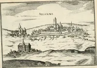
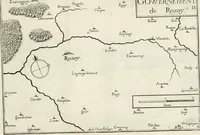
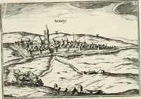
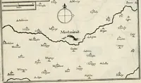
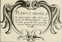
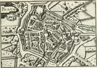
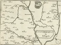
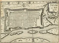
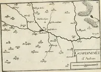
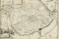
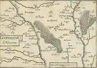
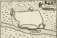
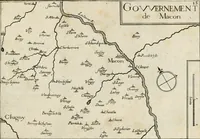
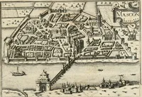
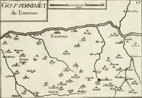
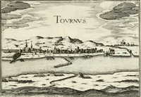
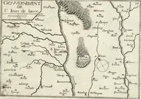
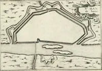
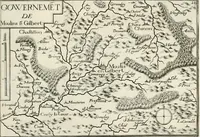
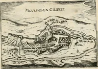
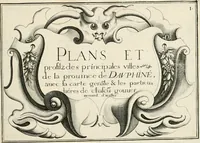
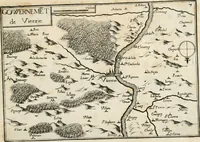
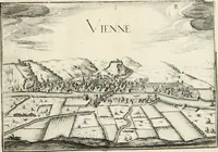
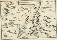
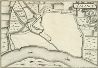
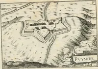
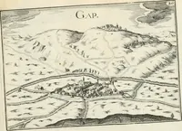
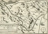
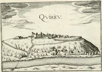
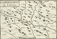
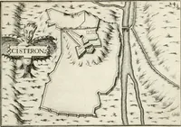
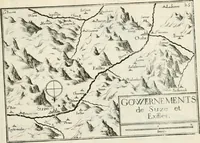
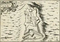
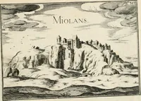
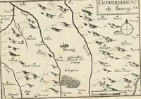
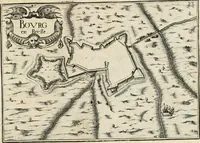
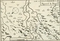
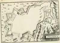
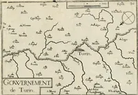
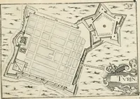
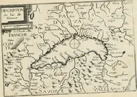
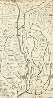
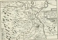
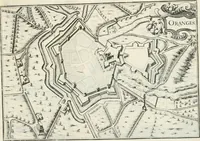
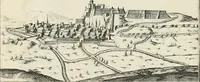
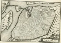
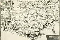
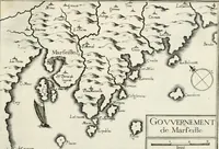
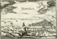
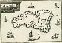
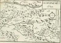
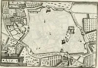
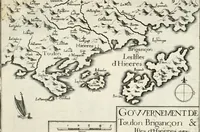
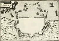
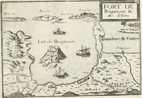
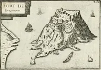
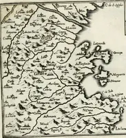
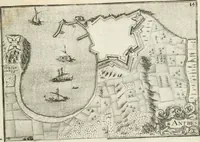
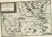
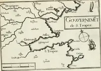
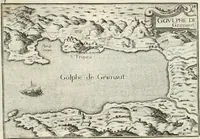
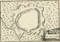
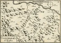
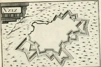
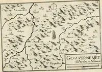
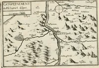
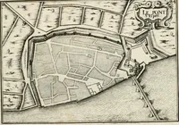
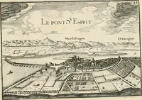
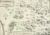
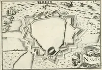
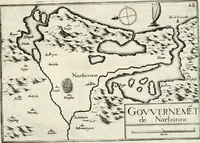
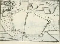
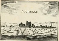
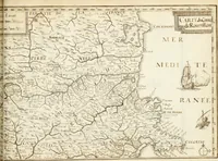
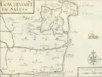
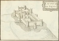
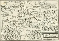
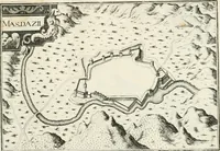
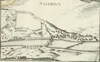
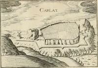
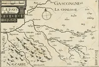
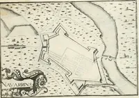
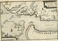
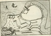
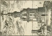
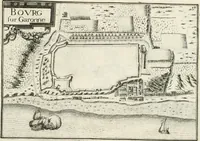
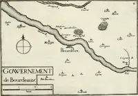
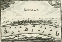
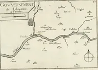
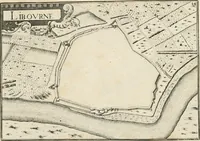
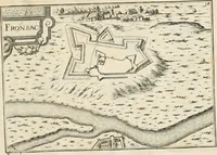
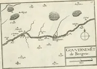
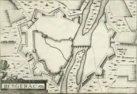
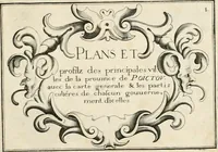
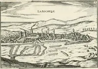
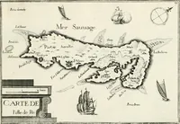
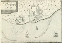
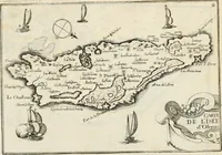
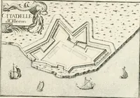
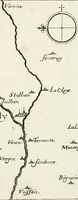
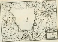
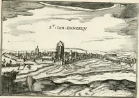
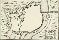
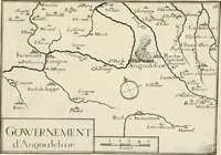
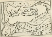
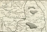
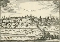
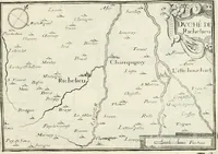
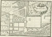
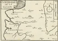
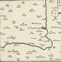
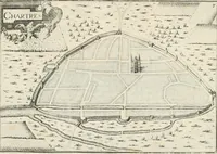
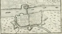
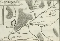
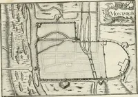
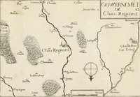
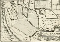
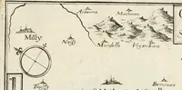
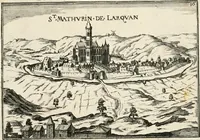
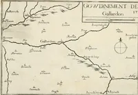
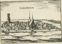
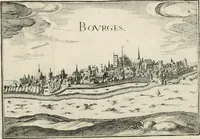
A 1636 Paris atlas by cartographer Nicolas Tassin, issued in its first and second parts, collecting plans of France's principal towns alongside regional and governorate maps for a royal and educated readership. The pictures are copperplate engravings: bird's-eye fortress plans with bastions and moats, and river and governorate maps with compass roses, scale bars and hand-lettered place names, offering a designer ready models for early-modern cartographic ornament, cartouches and fortified town geometry.