Regimiento de nauegacion q[ue] mando haser el rei nuestro señor por orden de su Conseio Real de las Indias
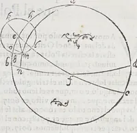
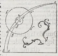
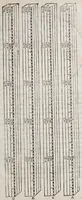
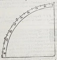
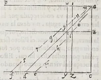
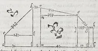
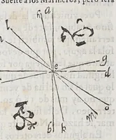
A 1606 Spanish navigation manual by Andrés García de Céspedes, printed in Madrid by Juan de la Cuesta, commissioned by the Royal Council of the Indies for ships' pilots and mariners. Its pictures are geometric diagrams of circles, great-circle arcs, triangles and a graduated quadrant drawn in fine black line on plain letterpress pages, with a few small decorative flourishes; a designer could take from them the clean, schematic logic of early scientific diagrams and their ornamental corner pieces.