Smithsonian contributions to knowledge
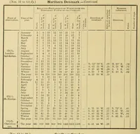
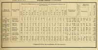
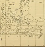
A Smithsonian Institution series of scientific papers published in Washington in 1848 for a learned audience, here showing tabulated wind and weather data and a chart of storm tracks. The pictures are dense printed tables of numbers in ruled columns and a sepia map with dotted curved lines across the Pacific and Australia, useful to a designer for data-table layouts, grid structure, and hand-drawn route diagrams.