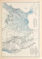
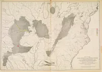
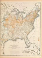
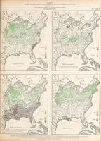
Statistical atlas of the United States based on the results of the ninth census 1870 with contributions from many eminent men of science and several departments of the government
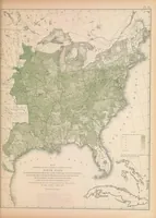
A government statistical atlas issued by the Census Office after the 1870 ninth census, compiled under superintendent Francis Amasa Walker and printed in New York by J. Bien in 1874 for legislators, scientists and the general public. Its pictures are large lithographed maps of the eastern United States shading forest cover, wealth, crop regions and coal fields in tinted greens, oranges and greys, with a designer able to take clear systematic colour-coding and dense regional layouts from them.