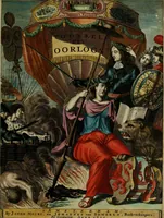
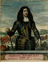
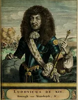
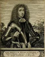
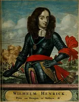
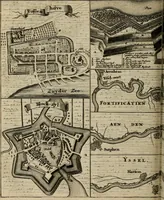
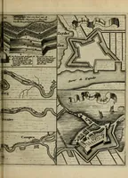
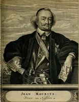
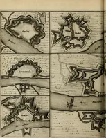
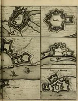
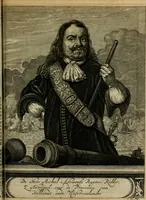
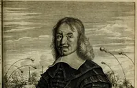
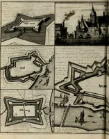
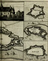
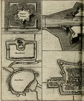
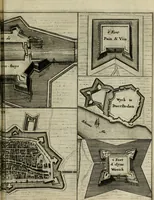
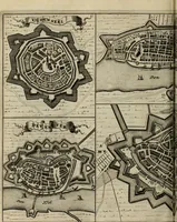
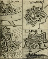
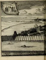
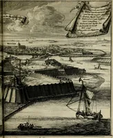
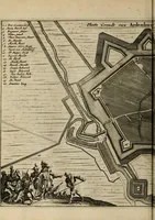
Tooneel des oorlogs, opgerecht in de Vereenigde Nederlanden : door de wapenen van de koningen van Vrankryk en Engeland, Keulsche en Munstersche Bisschoppen : tegen de Staten der Vereenigde Nederlanden, en hare geallieerden ...
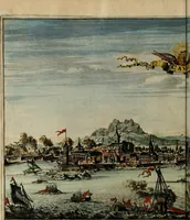
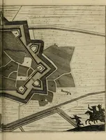
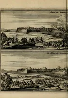
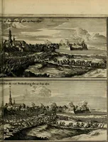
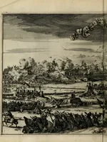
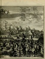
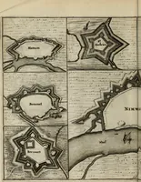
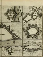
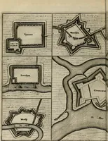
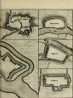
A 1675 Dutch-language atlas of the Dutch War of 1672-1678, published in Amsterdam by Jacob van Meurs and Johannes van Someren, compiling military plans of the Dutch Republic's towns and fortresses for a Dutch readership. The pictures are engraved bird's-eye plans of star-shaped bastioned fortifications, town walls, rivers and surrounding fields, drawn with fine hatching and labelled place names, which a designer might draw on for geometric city layouts, fortress diagrams or antique map textures.