Topographia Franconiæ : das ist, Beschreibung vnd eÿgentliche Contrafactur der vornehmbsten Stätte, vnd Plätze des Frankenlandes vnd deren, die zu dem hochlöbischen Fränkischen Craisse gezogen werden
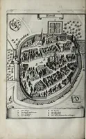
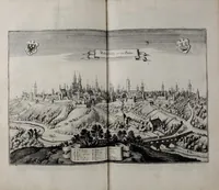
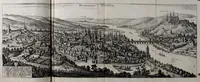
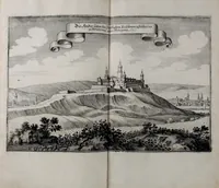
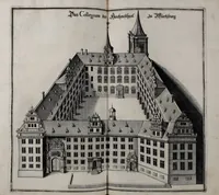
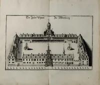
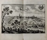
Topographia Franconiæ is a 1648 topographical book of Franconian towns and castles, written by Martin Zeiller and published in Frankfurt by Matthäus Merian for readers interested in the region's places. Its pictures are engraved bird's-eye and horizon views of walled towns and hilltop castles, with heraldic arms and captions, giving a designer clear models for period cityscape layouts, panoramic skylines and town plans.