Applied aerial photography, with a chapter on Oblique aerial surveys (Canada) by A.M. Narraway (1929)
McKinley, Ashley C. (Ashley Chadbourne) · New York, J. Wiley & Sons, inc.; London, Chapman & Hall, limited · leaf 261
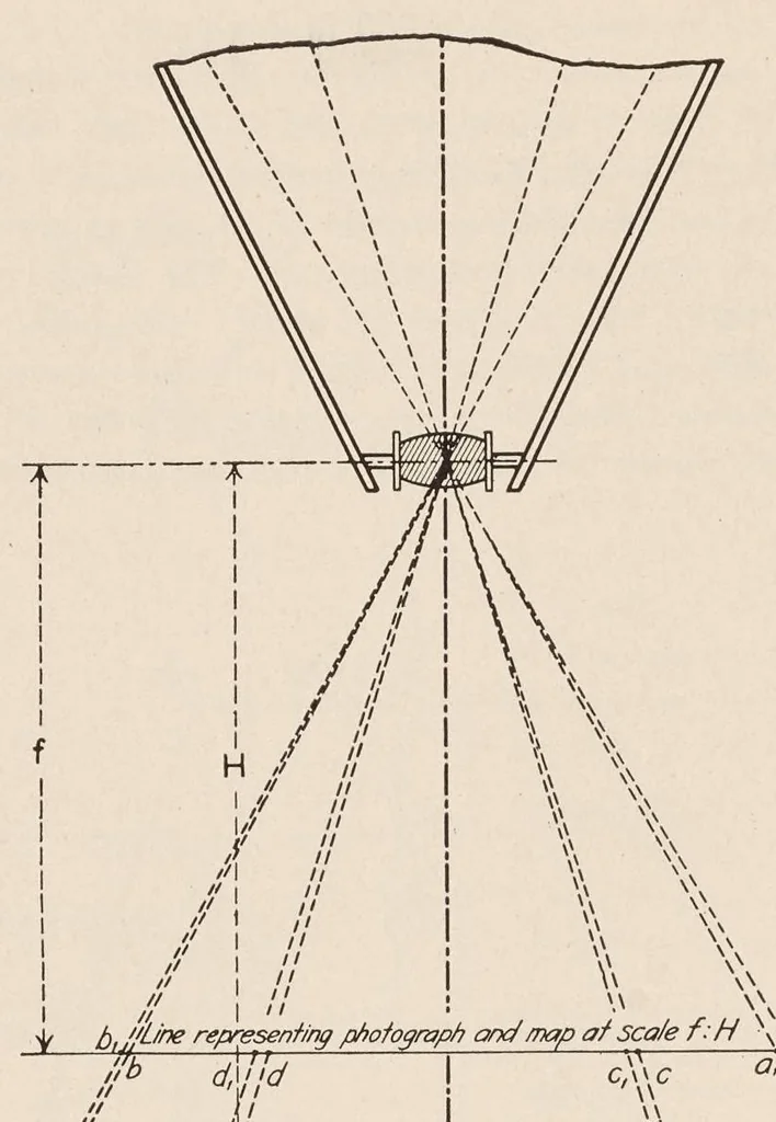
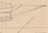
242 MAPPING WITH OR FROM THE PHOTOGRAPHS … iH u \ it | 4 Mf | \\ Aw Fic. 52.—Errecr or REewinr This figure is a vertical section through a camera which has been properly leveled at the time of the exposure. } X-Y is the datum plane to which the map or photograph is referred. ] B-A is the profile of the terrain illustrating the relief…
Aerial photography · Photographic surveying
Internet Archive · Getty Research Institute · Public domain (published before 1931). Free to use for anything.