The preparation of illustrations for reports of the United States Geological survey : with brief descriptions of processes of reproduction (1920)
Ridgway, John L. (John Livesy), b. 1859, United States. Dept. of the Interior, Geological Survey (U.S.) · Washington, D.C. : Government Printing Office · leaf 76
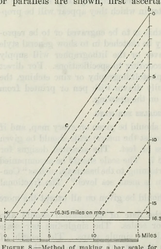
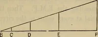
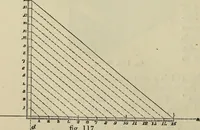
nown scale that shows only a single meridian and parallel, or for a map on which no meridians Scale 500,000 25 Miles L .1 .l.u ' 25 Kilometers Contour interval 200 feet. Doutwn. is mjaarv secu level. 1920 10,000 Feet o 5.000 Vertical scale Horizontal andvertica! scale _ eooFeet 200 40O 500 1000… … -Method of making a bar scale for a Figure 8.- nimiber of the units thus map of unknown scale. marked on line a will indicate the number of miles covered by that distance on the map, as shown in figure 8.
Topographical drawing · Map drawing
Internet Archive · Getty Research Institute · Public domain (published before 1931). Free to use for anything.